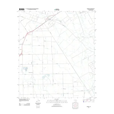
2013 Map of Pierce
USGS Topo · Published 2013About this map
The community of Pierce sits at the intersection of local ranching tradition and modern aviation in Wharton County. This landscape is defined by its extensive water management systems, including the Pierce Canal, which services the surrounding agricultural tracts. The Tres Palacios River and several of its tributaries, such as Blue Cr and Mud Cr, weave through the region, feeding the Roach Reservoir and the nearby Twin Basin. This network of waterways reflects the area's long-standing reliance on irrigation for its rice and cattle industries.
Find a feature on this map
46 named features on this map. Tap any name to fly to it.
Don’t see what you’re looking for? This feature index may not catch every label — zoom into the map to look around manually.
Map Details
Editions of this 2013 Pierce Map
This is the sole edition of this map. No revisions or reprints were ever made.
Other maps of this area

1951 · Danevang
USGS Topo · 1:24,000

1952 · Lane City SE
USGS Topo · 1:24,000

1952 · Lane City
USGS Topo · 1:24,000

1952 · Pierce
USGS Topo · 1:24,000

1953 · Wharton
USGS Topo · 1:24,000

1953 · Glen Flora
USGS Topo · 1:24,000

1953 · Seguin
USGS Topo · 1:250,000

1958 · Seguin
USGS Topo · 1:250,000

1960 · New Taiton
USGS Topo · 1:24,000

1965 · El Campo
USGS Topo · 1:24,000