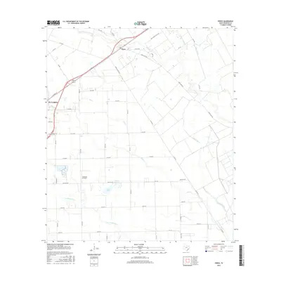
2016 Map of Pierce
USGS Topo · Published 2016About this map
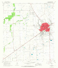
The agricultural plains of Wharton County are defined here by a sophisticated network of irrigation and water management, centered around the settlement of Pierce and the eastern edge of El Campo. The landscape is dominated by the sprawling Pierce Ranch Rd lands, where the Pierce Canal and numerous drainage features like Mud Creek and Blue Creek support the region's intensive farming operations. The influence of the ranching legacy is evident in the naming of local thoroughfares such as Barrio Rd and Live Oak Rd.
Find a feature on this map
47 named features on this map. Tap any name to fly to it.
Don’t see what you’re looking for? This feature index may not catch every label — zoom into the map to look around manually.
Map Details
Editions of this 2016 Pierce Map
This is the sole edition of this map. No revisions or reprints were ever made.
Other maps of this area
1951 · Danevang
USGS Topo · 1:24,000
1952 · Lane City SE
USGS Topo · 1:24,000
1952 · Lane City
USGS Topo · 1:24,000
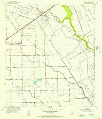
1952 · Pierce
USGS Topo · 1:24,000
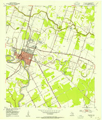
1953 · Wharton
USGS Topo · 1:24,000
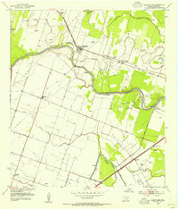
1953 · Glen Flora
USGS Topo · 1:24,000

1953 · Seguin
USGS Topo · 1:250,000

1958 · Seguin
USGS Topo · 1:250,000
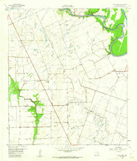
1960 · New Taiton
USGS Topo · 1:24,000
1965 · El Campo
USGS Topo · 1:24,000