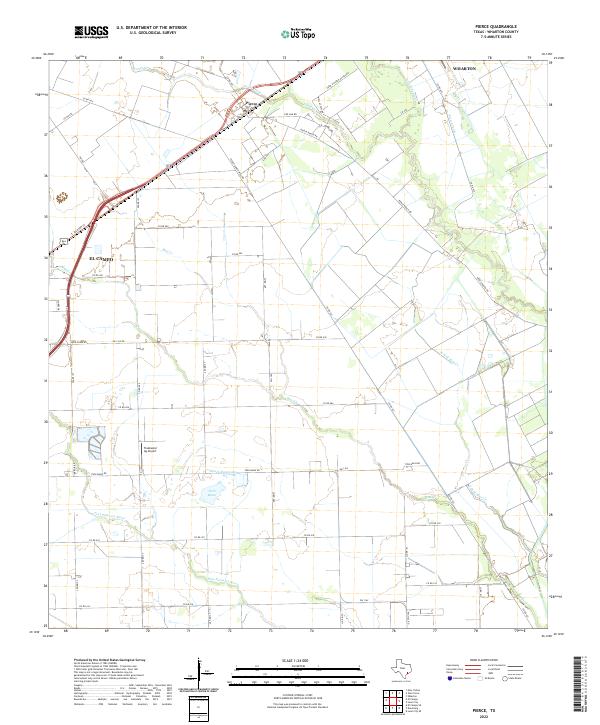
2022 Map of Pierce
USGS Topo · Published 2022About this map
Pierce and the eastern edge of El Campo anchor this coastal prairie landscape in Wharton County, Texas. The region is defined by a sophisticated agricultural water management system, centered on the Pierce Canal and several significant drainages like Jones Creek and Blue Creek. The presence of the Tradewind Ag Airport and numerous rural access routes, including Pierce Ranch Rd and Barrio Rd, reflects the area's continued reliance on large-scale ranching and farming. Notable water features like the Roach Reservoir and Twin Basin illustrate the intensive hydraulic engineering required for rice cultivation or cattle operations in this part of the state. Near the southern edge, the Tres Palacios River winds through the terrain, further emphasizing the hydrological character of the Wharton plains.
Find a feature on this map
49 named features on this map. Tap any name to fly to it.
Don’t see what you’re looking for? This feature index may not catch every label — zoom into the map to look around manually.
Map Details
Editions of this 2022 Pierce Map
This is the sole edition of this map. No revisions or reprints were ever made.
Other maps of this area

1951 · Danevang
USGS Topo · 1:24,000

1952 · Lane City SE
USGS Topo · 1:24,000

1952 · Lane City
USGS Topo · 1:24,000

1952 · Pierce
USGS Topo · 1:24,000

1953 · Wharton
USGS Topo · 1:24,000

1953 · Glen Flora
USGS Topo · 1:24,000

1953 · Seguin
USGS Topo · 1:250,000

1958 · Seguin
USGS Topo · 1:250,000

1960 · New Taiton
USGS Topo · 1:24,000

1965 · El Campo
USGS Topo · 1:24,000