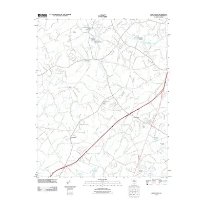
2011 Map of Piercetown
USGS Topo · Published 2011About this map
Piercetown and White Plains anchor this Anderson County landscape, defined by a dense network of country roads and small water bodies. The terrain is deeply carved by water, with Six and Twenty Creek, West Twenty Six Mile Creek, and Pickens Creek threading between family homesteads and local landmarks. For genealogists, the map is particularly rich in burial sites, documenting locations such as Pickens Cemetery, Macedonia Cemetery, and the Beulah Methodist Cemetery.
Find a feature on this map
174 named features on this map. Tap any name to fly to it.
Don’t see what you’re looking for? This feature index may not catch every label — zoom into the map to look around manually.
Map Details
Editions of this 2011 Piercetown Map
This is the sole edition of this map. No revisions or reprints were ever made.
Other maps of this area

1888 · Pickens
USGS Topo · 1:125,000

1894 · Pickens
USGS Topo · 1:125,000

1935 · Greenville
USGS Topo · 1:48,000

1938 · Greenville
USGS Topo · 1:62,500

1954 · Greenville
USGS Topo · 1:250,000

1957 · Greenville
USGS Topo · 1:24,000

1957 · Anderson
USGS Topo · 1:62,500

1957 · Easley
USGS Topo · 1:62,500

1957 · Williamston
USGS Topo · 1:62,500

1957 · Greenville
USGS Topo · 1:62,500