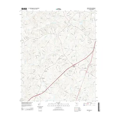
2014 Map of Piercetown
USGS Topo · Published 2014About this map
The crossroads of Piercetown and White Plains anchor this Anderson County landscape, where the headwaters of numerous creeks converge. The terrain is defined by the branching paths of Six and Twenty Cr and Three and Twenty Cr, along with the winding course of Hurricane Cr and Big Cr. For those researching local family history, several small burial grounds are documented, including Beulah Cem near the Beulah Methodist Cem and the Friendship Baptist Cem to the west. Small water bodies like McGee Pond, Hammonds Lake, and Campbells Lake are scattered throughout the region, illustrating the transition of the local economy toward water management and residential development. The northern reaches show more recent infrastructure, such as the Brushy Cr Watershed 18-Reservoir, which serves the growing needs of the surrounding communities.
Find a feature on this map
188 named features on this map. Tap any name to fly to it.
Don’t see what you’re looking for? This feature index may not catch every label — zoom into the map to look around manually.
Map Details
Editions of this 2014 Piercetown Map
This is the sole edition of this map. No revisions or reprints were ever made.
Other maps of this area

1888 · Pickens
USGS Topo · 1:125,000

1894 · Pickens
USGS Topo · 1:125,000

1935 · Greenville
USGS Topo · 1:48,000

1938 · Greenville
USGS Topo · 1:62,500

1954 · Greenville
USGS Topo · 1:250,000

1957 · Greenville
USGS Topo · 1:24,000

1957 · Anderson
USGS Topo · 1:62,500

1957 · Easley
USGS Topo · 1:62,500

1957 · Williamston
USGS Topo · 1:62,500

1957 · Greenville
USGS Topo · 1:62,500