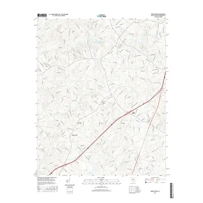
2017 Map of Piercetown
USGS Topo · Published 2017About this map
Piercetown and White Plains sit at the center of this rural Anderson County landscape, defined by a complex drainage network that feeds into the Anderson Reservoir along the southern border. The terrain is deeply inscribed with family and community history, evidenced by numerous burial sites including the Beulah Methodist Cem, Friendship Baptist Cem, and Macedonia Cem. These landmarks, often situated near crossroads or small watercourses, provide a roadmap of early settlement patterns in this part of South Carolina.
Find a feature on this map
191 named features on this map. Tap any name to fly to it.
Don’t see what you’re looking for? This feature index may not catch every label — zoom into the map to look around manually.
Map Details
Editions of this 2017 Piercetown Map
This is the sole edition of this map. No revisions or reprints were ever made.
Other maps of this area

1888 · Pickens
USGS Topo · 1:125,000

1894 · Pickens
USGS Topo · 1:125,000

1935 · Greenville
USGS Topo · 1:48,000

1938 · Greenville
USGS Topo · 1:62,500

1954 · Greenville
USGS Topo · 1:250,000

1957 · Greenville
USGS Topo · 1:24,000

1957 · Anderson
USGS Topo · 1:62,500

1957 · Easley
USGS Topo · 1:62,500

1957 · Williamston
USGS Topo · 1:62,500

1957 · Greenville
USGS Topo · 1:62,500