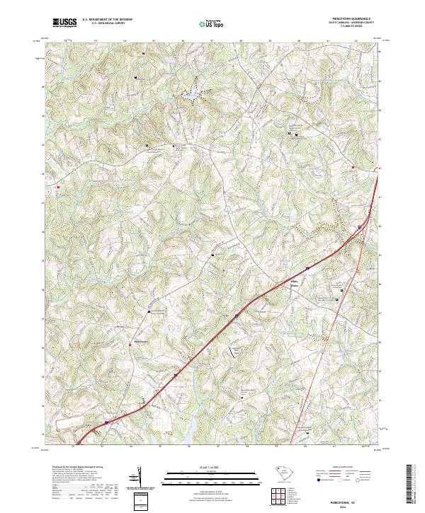
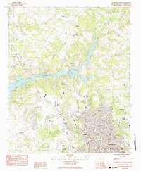
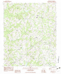
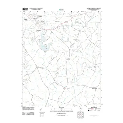
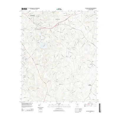
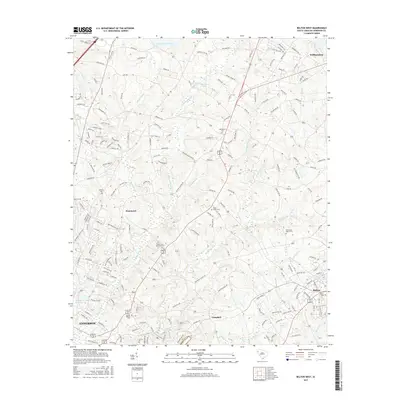
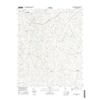
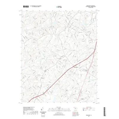
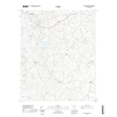
2024 Map of Piercetown
USGS Topo · Published 2024About this map
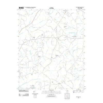
Piercetown and the nearby community of White Plains anchor this modern landscape in Anderson County, where the topography is defined by the branching networks of Six and Twenty Creek, Three and Twenty Creek, and West Twenty-Six Mile Creek. The area maintains a high density of rural religious and genealogical sites, with numerous active and historic grounds including Sweet Canaan Baptist Church Cem and the Bethel Church of God Abrahamic Graveyard.
Find a feature on this map
214 named features on this map. Tap any name to fly to it.
Don’t see what you’re looking for? This feature index may not catch every label — zoom into the map to look around manually.
Map Details
Editions of this 2024 Piercetown Map
This is the sole edition of this map. No revisions or reprints were ever made.
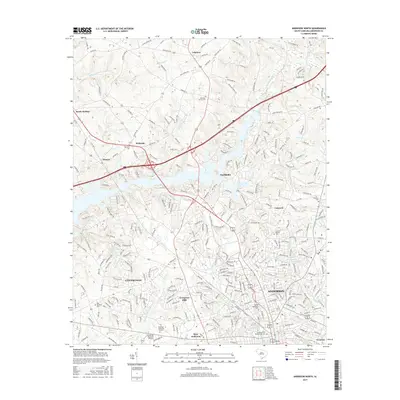
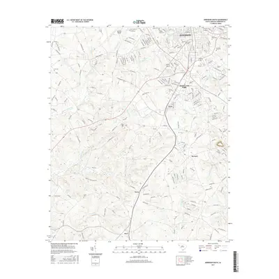
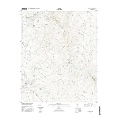
Historical Maps of Williamston Through Time
48 maps found
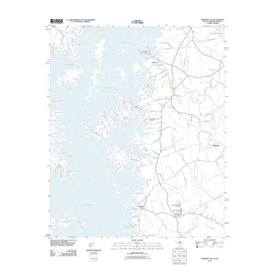
1959 Hartwell NE
Anderson County, SC
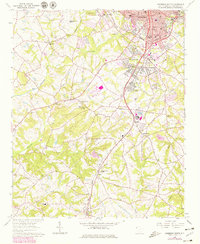
1964 Anderson South
Anderson County, SC
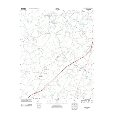
1964 Saylors Crossroads
Anderson County, SC
1983 Anderson North
Anderson County, SC
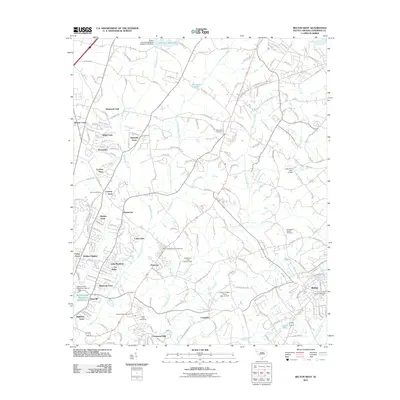
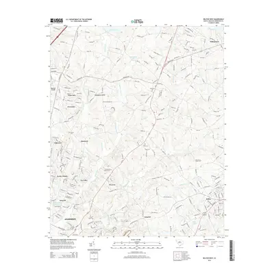
1983 Belton East
Anderson County, SC
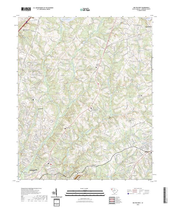
1983 Belton West
Anderson County, SC
1983 Five Forks
Anderson County, SC
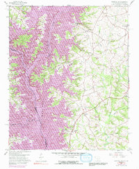
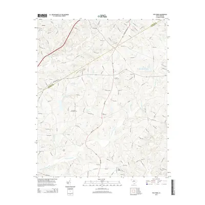
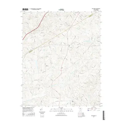
1983 Piercetown
Anderson County, SC
2011 Anderson North
Anderson County, SC
2011 Anderson South
Anderson County, SC
2011 Belton East
Anderson County, SC
2011 Belton West
Anderson County, SC
2011 Five Forks
Anderson County, SC
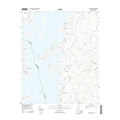
2011 Hartwell NE
Anderson County, SC
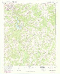
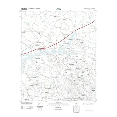
2011 Piercetown
Anderson County, SC
2011 Saylors Crossroads
Anderson County, SC
2014 Anderson North
Anderson County, SC
2014 Anderson South
Anderson County, SC
2014 Belton East
Anderson County, SC
2014 Belton West
Anderson County, SC
2014 Five Forks
Anderson County, SC
2014 Hartwell NE
Anderson County, SC
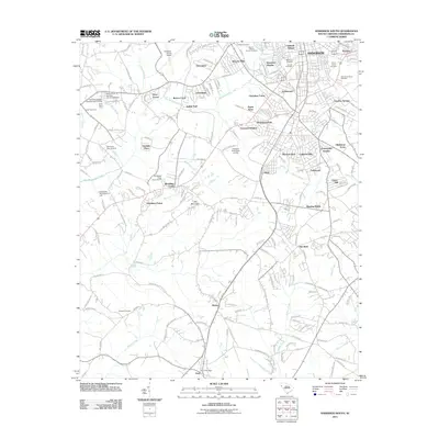
2014 Piercetown
Anderson County, SC
2014 Saylors Crossroads
Anderson County, SC
2017 Anderson North
Anderson County, SC
2017 Anderson South
Anderson County, SC
2017 Belton East
Anderson County, SC
2017 Belton West
Anderson County, SC
2017 Five Forks
Anderson County, SC
2017 Hartwell NE
Anderson County, SC
2017 Piercetown
Anderson County, SC
2017 Saylors Crossroads
Anderson County, SC
2020 Anderson North
Anderson County, SC
2020 Anderson South
Anderson County, SC
2020 Belton East
Anderson County, SC
2020 Belton West
Anderson County, SC
2020 Five Forks
Anderson County, SC
2020 Hartwell NE
Anderson County, SC
2020 Piercetown
Anderson County, SC
2020 Saylors Crossroads
Anderson County, SC
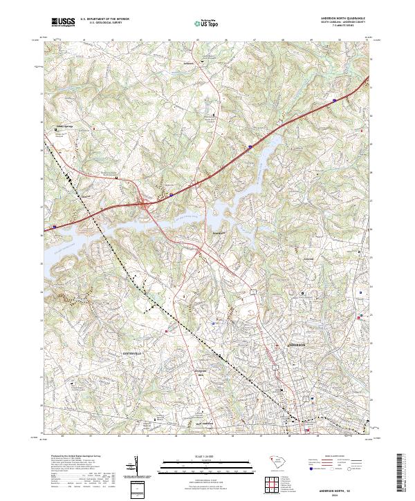
2024 Anderson North
Anderson County, SC
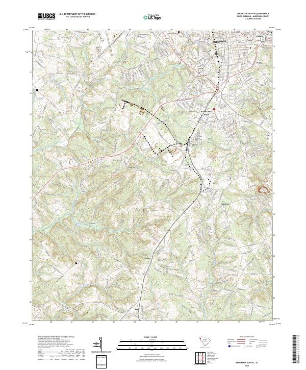
2024 Anderson South
Anderson County, SC
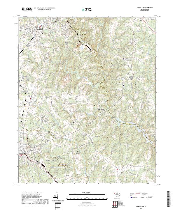
2024 Belton East
Anderson County, SC
2024 Belton West
Anderson County, SC
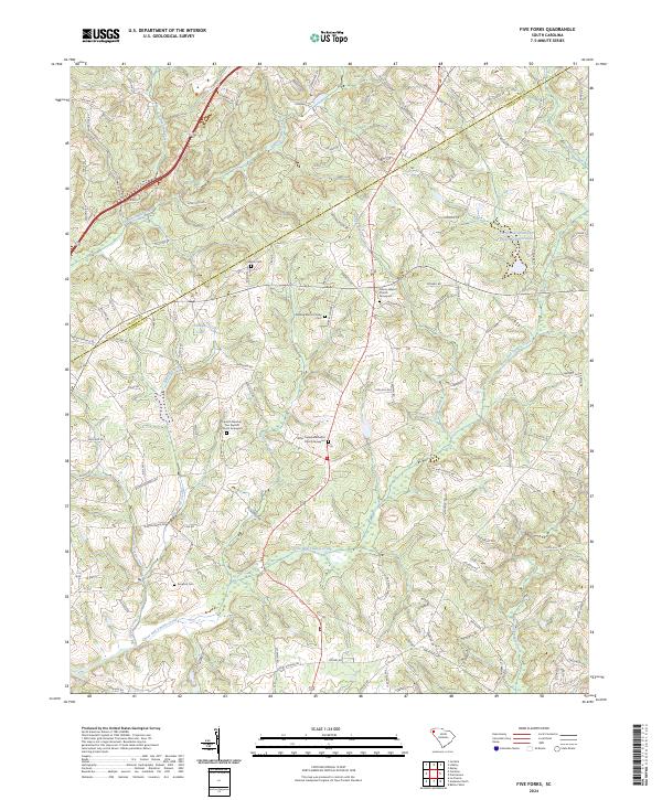
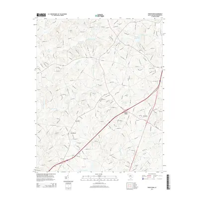
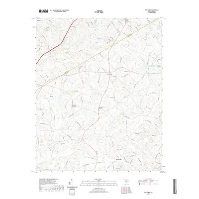
2024 Five Forks
Anderson County, SC
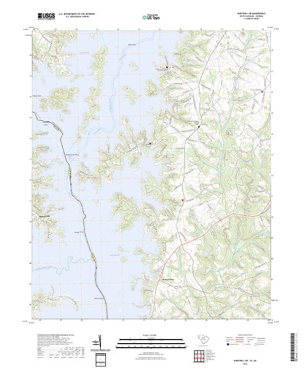
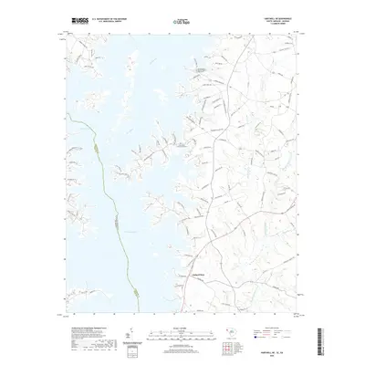
2024 Hartwell NE
Anderson County, SC
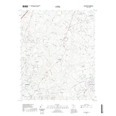
2024 Piercetown
Anderson County, SC
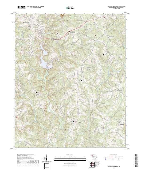
2024 Saylors Crossroads
Anderson County, SC