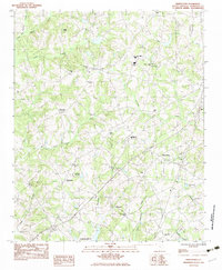
1983 Map of Piercetown
USGS Topo · Published 1983About this map
Piercetown and the surrounding rural landscapes of Anderson County are documented here as they appeared in the late 1970s and early 1980s. This survey reveals a community organized around a dense network of country churches and schools, such as Pickens Chapel Ch and the Wren High Sch. The presence of the Anderson Speedway and the Stringer Ridge Lookout Tower highlight local landmarks of recreation and forestry.
Find a feature on this map
39 named features on this map. Tap any name to fly to it.
Don’t see what you’re looking for? This feature index may not catch every label — zoom into the map to look around manually.
Map Details
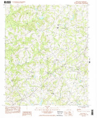
Editions of this 1983 Piercetown Map
2 editions found
Other maps of this area

1888 · Pickens
USGS Topo · 1:125,000

1894 · Pickens
USGS Topo · 1:125,000

1935 · Greenville
USGS Topo · 1:48,000

1938 · Greenville
USGS Topo · 1:62,500

1954 · Greenville
USGS Topo · 1:250,000

1957 · Greenville
USGS Topo · 1:24,000

1957 · Anderson
USGS Topo · 1:62,500

1957 · Easley
USGS Topo · 1:62,500

1957 · Williamston
USGS Topo · 1:62,500

1957 · Greenville
USGS Topo · 1:62,500