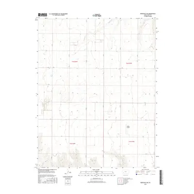
2016 Map of Pierceville NE
USGS Topo · Published 2016About this map
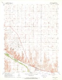
Pawnee River winds through the northern reaches of this Gray County landscape, carving a distinct corridor through the otherwise structured agricultural sections of the Kansas plains. The terrain is defined by a strict grid of county roads, including north-south routes like Co RD 6 and Co Rd 8, which intersect with alphabetically named east-west paths such as C RD and H RD. This geometric organization reflects the enduring Public Land Survey System, with boundaries for t24s r30w and t24s r29w clearly delineated across the township. In the southeastern portion of the quadrangle, the Ingalls Municipal Airport serves as a modern navigational landmark, while numerous small depressions and wetland pockets across the plains suggest the characteristic hydrology of the high prairie before extensive drainage or land modification.
Find a feature on this map
20 named features on this map. Tap any name to fly to it.
Don’t see what you’re looking for? This feature index may not catch every label — zoom into the map to look around manually.
Map Details
Editions of this 2016 Pierceville NE Map
This is the sole edition of this map. No revisions or reprints were ever made.
Other maps of this area
1892 · Dodge
USGS Topo · 1:125,000
1896 · Garden
USGS Topo · 1:125,000

1955 · Dodge City
USGS Topo · 1:250,000

1955 · Scott City
USGS Topo · 1:250,000

1958 · Dodge City
USGS Topo · 1:250,000

1958 · Scott City
USGS Topo · 1:250,000

1959 · Dodge City
USGS Topo · 1:250,000
1967 · Pierceville SW
USGS Topo · 1:24,000
1967 · Pierceville
USGS Topo · 1:24,000
1968 · Cimarron NW
USGS Topo · 1:24,000