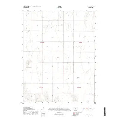
2018 Map of Pierceville NE
USGS Topo · Published 2018About this map
The Pawnee River cuts through the northern sections of this Gray County landscape, marking one of the few natural interruptions in an otherwise organized agricultural grid. The terrain is defined by the Public Land Survey System, with township lines for t24s r30w and t24s r29w framing the vast, sectioned fields of western Kansas. Transportation across the plains is dictated by an expansive network of rural county roads, including Co Rd 4, Co Rd 7, and Co Rd 10, which trace the section lines and connect isolated farmsteads. A notable aviation landmark, the Ingalls Municipal Airport, sits in the southeastern quadrant, serving as a vital link for the surrounding agricultural community. This survey reflects the modern rural economy where irrigation and large-scale farming dictate the land use patterns visible in the drainage and road layouts.
Find a feature on this map
20 named features on this map. Tap any name to fly to it.
Don’t see what you’re looking for? This feature index may not catch every label — zoom into the map to look around manually.
Map Details
Editions of this 2018 Pierceville NE Map
This is the sole edition of this map. No revisions or reprints were ever made.
Other maps of this area
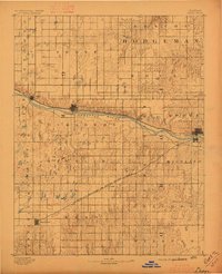
1892 · Dodge
USGS Topo · 1:125,000
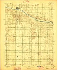
1896 · Garden
USGS Topo · 1:125,000

1955 · Dodge City
USGS Topo · 1:250,000

1955 · Scott City
USGS Topo · 1:250,000

1958 · Dodge City
USGS Topo · 1:250,000

1958 · Scott City
USGS Topo · 1:250,000

1959 · Dodge City
USGS Topo · 1:250,000
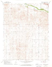
1967 · Pierceville SW
USGS Topo · 1:24,000
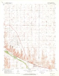
1967 · Pierceville
USGS Topo · 1:24,000
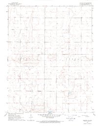
1968 · Cimarron NW
USGS Topo · 1:24,000