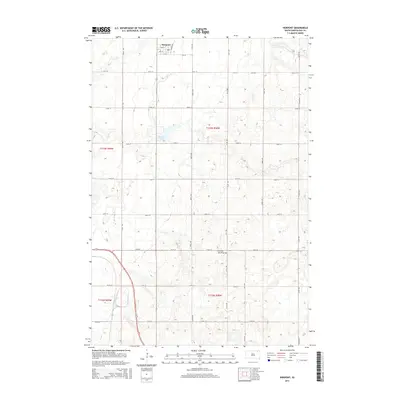
2015 Map of Pierpont
USGS Topo · Published 2015About this map
Pierpont anchors the northern edge of this Day County landscape, situated where the town grid meets the southern reach of the Railway Ave corridor. The geography is defined by the prominent Coteau des Prairies, a high plateau that rises over the surrounding plains, creating a complex pattern of glacial depressions and small water bodies. Central to this topography is Pierpont Lake, which sits west of the town center. The map reveals the rigid section lines of the Public Land Survey System, expressed through a dense network of rural roads like 133rd St and 420th Ave that partition the prairie into a productive agricultural grid. This survey provides a clear view of the transition between the organized settlement at the town site and the undulating terrain of the coteau to the south.
Find a feature on this map
26 named features on this map. Tap any name to fly to it.
Don’t see what you’re looking for? This feature index may not catch every label — zoom into the map to look around manually.
Map Details
Editions of this 2015 Pierpont Map
This is the sole edition of this map. No revisions or reprints were ever made.
Other maps of this area
1953 · Milbank
USGS Topo · 1:250,000
1958 · Milbank
USGS Topo · 1:250,000
1958 · Britton 4 SW
USGS Topo · 1:24,000
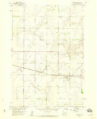
1958 · Andover
USGS Topo · 1:24,000
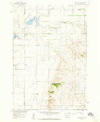
1958 · Andover SW
USGS Topo · 1:24,000
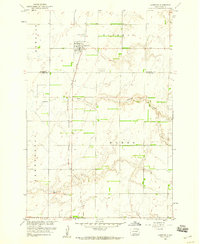
1958 · Langford
USGS Topo · 1:24,000
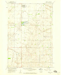
1958 · Pierpont
USGS Topo · 1:24,000
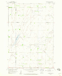
1958 · Langford SW
USGS Topo · 1:24,000
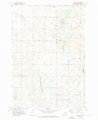
1973 · Lynn Lake
USGS Topo · 1:24,000
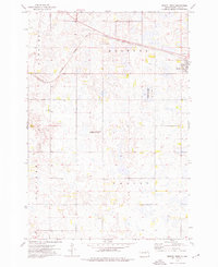
1973 · Bristol West
USGS Topo · 1:24,000