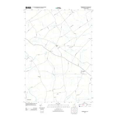
2013 Map of Pierrepont
USGS Topo · Published 2013About this map
Pierrepont and the surrounding crossroads of Saint Lawrence County are defined by a network of small creeks and rural settlements established along the plateau south of the St. Lawrence Valley. The landscape is dominated by the prominent Waterman Hill to the west and the meandering course of the Little River. In this early 21st-century view, the historical layout of the community remains visible through scattered hamlets like Crary Mills and Brick Chapel, alongside numerous family-named roads such as Ames Rd and Leary Rd. The distribution of burial grounds, including Pierrepont Hill Cem and White Church Cem, suggests a long-established rural population. Drainage patterns are intricate, with Boyden Brook, Grannis Brook, and Sugar Cr carving out the terrain between small farmsteads like Maple Leaf Farm.
Find a feature on this map
69 named features on this map. Tap any name to fly to it.
Don’t see what you’re looking for? This feature index may not catch every label — zoom into the map to look around manually.
Map Details
Editions of this 2013 Pierrepont Map
This is the sole edition of this map. No revisions or reprints were ever made.
Other maps of this area

1908 · Potsdam
USGS Topo · 1:62,500

1910 · Canton
USGS Topo · 1:62,500

1911 · Canton
USGS Topo · 1:62,500

1915 · Russell
USGS Topo · 1:62,500

1918 · Russell
USGS Topo · 1:62,500

1921 · Stark
USGS Topo · 1:62,500

1923 · Stark
USGS Topo · 1:62,500

1940 · Stark
USGS Topo · 1:62,500

1943 · Potsdam
USGS Topo · 1:31,680
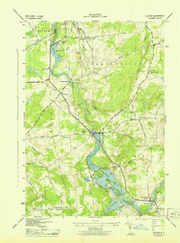
1943 · Colton
USGS Topo · 1:31,680