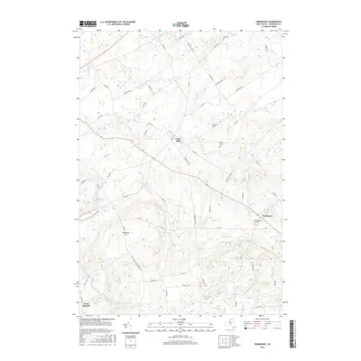
2016 Map of Pierrepont
USGS Topo · Published 2016About this map
Crary Mills and Pierrepont anchor this Saint Lawrence County landscape, where agricultural land meets the rising topography of the northern Adirondack foothills. The area is defined by a dense network of watercourses including Little River, Boyden Brook, and Grannis Brook, which historically powered local industry. Genealogists will find significant value in the documentation of several local burying grounds, notably Pierrepont Hill Cem, Leet Cem, and the White Church Cem. Elevations climb significantly toward the southern portion of the map, culminating at Waterman Hill. The road network, including routes like Co Rd 24 and Howardville Rd, connects these small settlements through a terrain of winding creeks and rural homesteads, reflecting the enduring 21st-century character of these North Country communities.
Find a feature on this map
62 named features on this map. Tap any name to fly to it.
Don’t see what you’re looking for? This feature index may not catch every label — zoom into the map to look around manually.
Map Details
Editions of this 2016 Pierrepont Map
This is the sole edition of this map. No revisions or reprints were ever made.
Other maps of this area

1908 · Potsdam
USGS Topo · 1:62,500

1910 · Canton
USGS Topo · 1:62,500

1911 · Canton
USGS Topo · 1:62,500

1915 · Russell
USGS Topo · 1:62,500

1918 · Russell
USGS Topo · 1:62,500

1921 · Stark
USGS Topo · 1:62,500

1923 · Stark
USGS Topo · 1:62,500

1940 · Stark
USGS Topo · 1:62,500

1943 · Potsdam
USGS Topo · 1:31,680
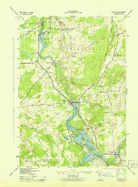
1943 · Colton
USGS Topo · 1:31,680