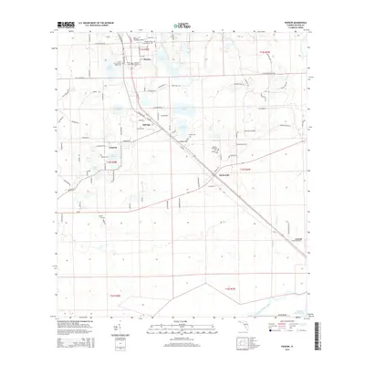
2015 Map of Pierson
USGS Topo · Published 2015About this map
Pierson sits at the heart of this Volusia County landscape, serving as a hub for the surrounding fern-growing region. The settlement pattern is defined by a dense grid of local roads like W Washington Ave and N Volusia Ave, which connect several small communities including Emporia, Barberville, and Eldridge. The abundance of cemeteries such as Ebenezer Lutheran Cem, Pierson Cem, and Purdom Cem provides significant points of interest for those researching local family lineages. Hydrology plays a central role in the geography here, with Lake Pierson and Shaw Lake in the north and the winding course of Deep Creek and Spring Garden Creek to the south. The Pierson Municipal Airport and the corridor through Conrad highlight the intersection of local aviation and long-standing transit routes in this part of Florida.
Find a feature on this map
108 named features on this map. Tap any name to fly to it.
Don’t see what you’re looking for? This feature index may not catch every label — zoom into the map to look around manually.
Map Details
Editions of this 2015 Pierson Map
This is the sole edition of this map. No revisions or reprints were ever made.
Other maps of this area
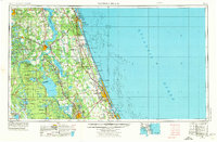
1954 · Daytona Beach
USGS Topo · 1:250,000
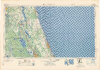
1958 · Daytona Beach
USGS Topo · 1:250,000
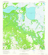
1962 · Lake Woodruff
USGS Topo · 1:24,000
1964 · Daytona Beach
USGS Topo · 1:250,000
1964 · De Land
USGS Topo · 1:24,000
1970 · Welaka SE
USGS Topo · 1:24,000
1970 · Seville
USGS Topo · 1:24,000
1970 · Pierson
USGS Topo · 1:24,000
1971 · Lake Dias
USGS Topo · 1:24,000
1972 · Astor
USGS Topo · 1:24,000