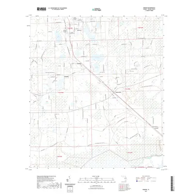
2021 Map of Pierson
USGS Topo · Published 2021About this map
The town of Pierson anchors this survey of central Florida's fern-growing region, characterized by a complex network of small lakes and dedicated conservation lands. The landscape is defined by its water bodies, including Lake Pierson, Shaw Lake, and Cain Lake, which are interspersed with the dense wetlands of the Lake George State Forest. In the northern section, the concentration of historical sites such as Methodist Cem, Mount Zion Primitive Baptist Cem, and Ebenezer Lutheran Cem provides a significant record of the community's early settlers and congregational history.
Find a feature on this map
77 named features on this map. Tap any name to fly to it.
Don’t see what you’re looking for? This feature index may not catch every label — zoom into the map to look around manually.
Map Details
Editions of this 2021 Pierson Map
This is the sole edition of this map. No revisions or reprints were ever made.
Other maps of this area

1954 · Daytona Beach
USGS Topo · 1:250,000

1958 · Daytona Beach
USGS Topo · 1:250,000

1962 · Lake Woodruff
USGS Topo · 1:24,000

1964 · Daytona Beach
USGS Topo · 1:250,000
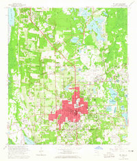
1964 · De Land
USGS Topo · 1:24,000

1970 · Welaka SE
USGS Topo · 1:24,000

1970 · Seville
USGS Topo · 1:24,000

1970 · Pierson
USGS Topo · 1:24,000
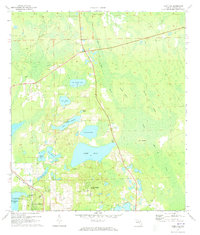
1971 · Lake Dias
USGS Topo · 1:24,000
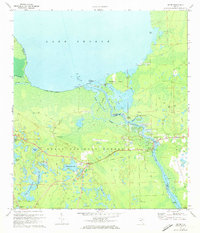
1972 · Astor
USGS Topo · 1:24,000