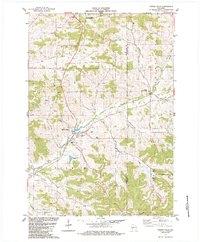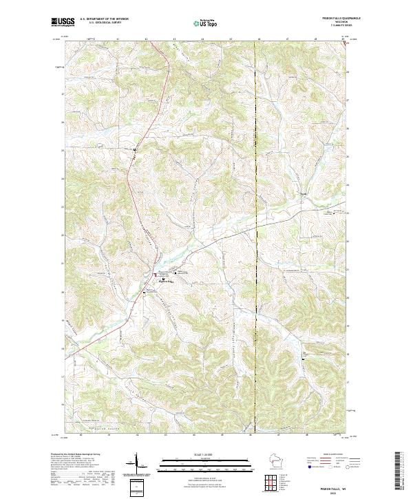
2022 Map of Pigeon Falls
USGS Topo · Published 2022About this map
Pigeon Falls and the surrounding coulees of Trempealeau County are meticulously detailed in this recent survey, showing the deep-rooted settlement patterns of this corner of Wisconsin. The landscape is defined by the drainage network of Pigeon Creek and its many tributaries, including Schermerhorn Cr and Vosse Coulee Cr. The community's history is preserved in several burial grounds, such as the Pigeon Falls Evangelical Lutheran Cem and Pigeon Creek Lutheran Cem, which reflect the early immigrant heritage of the area.
Find a feature on this map
91 named features on this map. Tap any name to fly to it.
Don’t see what you’re looking for? This feature index may not catch every label — zoom into the map to look around manually.
Map Details
Editions of this 2022 Pigeon Falls Map
This is the sole edition of this map. No revisions or reprints were ever made.