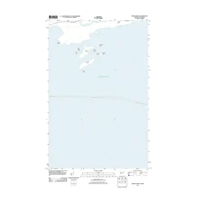
2011 Map of Pigeon Point
USGS Topo · Published 2011About this map
Pigeon Point marks a distinctive landscape where the northern waters of Lake Superior meet the international border. In this 2011 survey, the map shows the rugged archipelago dotting the coast, including the larger Susie Island and Lucille Island, alongside smaller outcrops like Magnet Island and Gull Rock. The terrain is characterized by these narrow, elongated islands that parallel the shoreline, a testament to the region's geological structure. The Pigeon River flows along the northwestern edge of the sheet, defining the boundary between Minnesota and Canada. Maritime navigation and transit are indicated by the Grand Portage-Isle Royale route, which traverses the open waters. This map is an essential reference for understanding the modern coastal geography of this remote boundary region.
Find a feature on this map
14 named features on this map. Tap any name to fly to it.
Don’t see what you’re looking for? This feature index may not catch every label — zoom into the map to look around manually.
Map Details
Editions of this 2011 Pigeon Point Map
This is the sole edition of this map. No revisions or reprints were ever made.
Other maps of this area
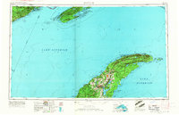
1958 · Hancock
USGS Topo · 1:250,000
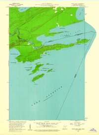
1959 · Pigeon Point
USGS Topo · 1:24,000
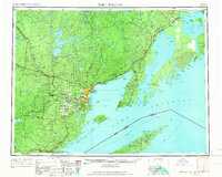
1959 · Fort William
USGS Topo · 1:250,000
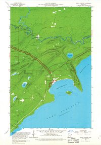
1959 · Grand Portage
USGS Topo · 1:24,000
1960 · Hancock
USGS Topo · 1:250,000
1961 · Hancock
USGS Topo · 1:250,000
1966 · Hancock
USGS Topo · 1:250,000
1968 · Fort William
USGS Topo · 1:250,000
1985 · Pigeon Point
USGS Topo · 1:100,000
1985 · Grand Portage
USGS Topo · 1:100,000