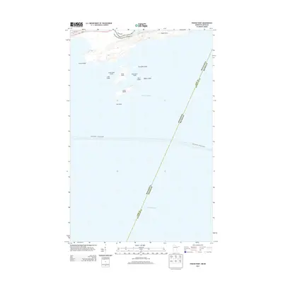
2013 Map of Pigeon Point
USGS Topo · Published 2013About this map
Pigeon Point marks the northeastern tip of Minnesota where the international boundary between Canada and the United States meets the open waters of Lake Superior. This aquatic landscape is dominated by a cluster of named islands and rocks, including Susie Island, Lucille Island, and Magnet Island, which provide a detailed look at the maritime geography of Cook County. The map also delineates the complex state border between Minnesota and Michigan, cutting through the lake toward the Keweenaw Peninsula. An essential transport link for the region is noted with the path of the Grand Portage - Isle Royale Ferry, which traverses the southern portion of the sheet. Other smaller landforms like Gull Rock and Porcupine Island stand out as navigation points in this borderlands environment.
Find a feature on this map
17 named features on this map. Tap any name to fly to it.
Don’t see what you’re looking for? This feature index may not catch every label — zoom into the map to look around manually.
Map Details
Editions of this 2013 Pigeon Point Map
This is the sole edition of this map. No revisions or reprints were ever made.
Other maps of this area
1958 · Hancock
USGS Topo · 1:250,000
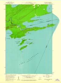
1959 · Pigeon Point
USGS Topo · 1:24,000
1959 · Fort William
USGS Topo · 1:250,000
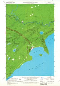
1959 · Grand Portage
USGS Topo · 1:24,000
1960 · Hancock
USGS Topo · 1:250,000
1961 · Hancock
USGS Topo · 1:250,000
1966 · Hancock
USGS Topo · 1:250,000
1968 · Fort William
USGS Topo · 1:250,000
1985 · Pigeon Point
USGS Topo · 1:100,000
1985 · Grand Portage
USGS Topo · 1:100,000