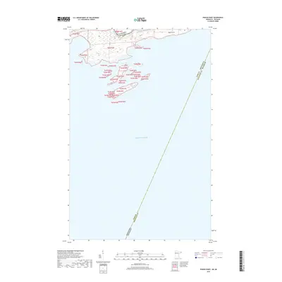
2019 Map of Pigeon Point
USGS Topo · Published 2019About this map
Lake Superior dominates this nautical and borderland landscape, where the waters of the Pigeon River meet the international boundary between Canada and the USA. This unique maritime survey captures the extreme northeastern tip of Minnesota at Pigeon Point, a narrow finger of land extending into the lake. The map illustrates a complex convergence of jurisdictions, showing the meeting point of Cook and Keweenaw Counties as well as the water boundary between Minnesota and Michigan. The topography is defined by the coastal islands and rocky inlets characteristic of this northern shoreline, where the land-based Public Land Survey System grids, such as t64n r7e, transition into the open water. This documentation is essential for understanding the precise geographic limits of state and national sovereignty at the edge of the great lake.
Find a feature on this map
9 named features on this map. Tap any name to fly to it.
Don’t see what you’re looking for? This feature index may not catch every label — zoom into the map to look around manually.
Map Details
Editions of this 2019 Pigeon Point Map
This is the sole edition of this map. No revisions or reprints were ever made.
Other maps of this area
1958 · Hancock
USGS Topo · 1:250,000
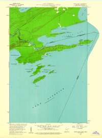
1959 · Pigeon Point
USGS Topo · 1:24,000
1959 · Fort William
USGS Topo · 1:250,000
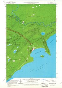
1959 · Grand Portage
USGS Topo · 1:24,000
1960 · Hancock
USGS Topo · 1:250,000
1961 · Hancock
USGS Topo · 1:250,000
1966 · Hancock
USGS Topo · 1:250,000
1968 · Fort William
USGS Topo · 1:250,000
1985 · Pigeon Point
USGS Topo · 1:100,000
1985 · Grand Portage
USGS Topo · 1:100,000