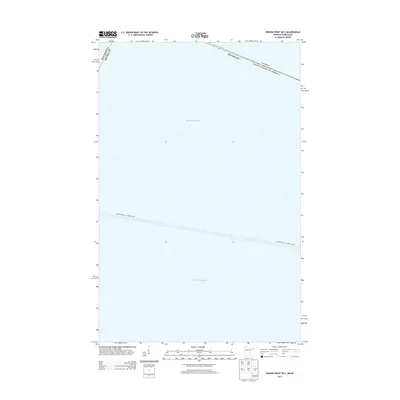
2013 Map of Pigeon Point OE E
USGS Topo · Published 2013About this map
Lake Superior dominates this nautical and terrestrial boundary study, capturing a critical intersection of international and state borders. The map documents the maritime corridor of the Grand Portage - Isle Royale Ferry, tracing its path across the open water toward Michigan’s island wilderness. This 2013 survey serves as a precise record of the Canada United States of America line as it cuts through the northern reaches of the lake. The convergence of the Minnesota Michigan state line with the international boundary highlights the complex jurisdictional nature of these waters. While primarily aquatic, the map provides essential context for the transit routes and political divisions that define the Pigeon Point offshore region.
Find a feature on this map
5 named features on this map. Tap any name to fly to it.
Don’t see what you’re looking for? This feature index may not catch every label — zoom into the map to look around manually.
Map Details
Editions of this 2013 Pigeon Point OE E Map
This is the sole edition of this map. No revisions or reprints were ever made.
Other maps of this area

1958 · Hancock
USGS Topo · 1:250,000
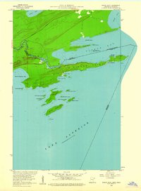
1959 · Pigeon Point
USGS Topo · 1:24,000

1959 · Fort William
USGS Topo · 1:250,000

1960 · Hancock
USGS Topo · 1:250,000

1961 · Hancock
USGS Topo · 1:250,000

1966 · Hancock
USGS Topo · 1:250,000

1968 · Fort William
USGS Topo · 1:250,000

1985 · Pigeon Point
USGS Topo · 1:100,000

1985 · Grand Portage
USGS Topo · 1:100,000
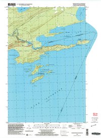
1999 · Pigeon Point
USGS Topo · 1:24,000