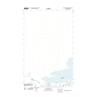
2011 Map of Pigeon Point OE N
USGS Topo · Published 2011About this map
The Pigeon River serves as the focal point for this international boundary survey, tracing the aquatic border between the Canada and United States. The geography here is dominated by the river's path as it approaches Lake Superior, featuring significant landmarks such as Middle Falls and Pigeon Falls. These falls represent the last major descent of the waterway before it meets the northern shoreline.
Find a feature on this map
8 named features on this map. Tap any name to fly to it.
Don’t see what you’re looking for? This feature index may not catch every label — zoom into the map to look around manually.
Map Details
Editions of this 2011 Pigeon Point OE N Map
This is the sole edition of this map. No revisions or reprints were ever made.
Other maps of this area
1958 · Hancock
USGS Topo · 1:250,000
1959 · Pigeon Point
USGS Topo · 1:24,000
1959 · Fort William
USGS Topo · 1:250,000
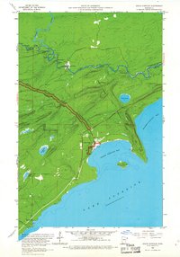
1959 · Grand Portage
USGS Topo · 1:24,000
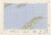
1960 · Hancock
USGS Topo · 1:250,000
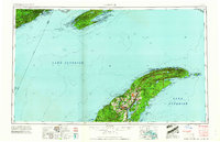
1961 · Hancock
USGS Topo · 1:250,000
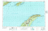
1966 · Hancock
USGS Topo · 1:250,000
1968 · Fort William
USGS Topo · 1:250,000
1985 · Pigeon Point
USGS Topo · 1:100,000
1985 · Grand Portage
USGS Topo · 1:100,000