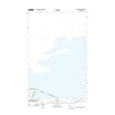
2013 Map of Pigeon Point OE NE
USGS Topo · Published 2013About this map
Pigeon Point marks the rugged convergence of terrestrial and maritime boundaries along the northern reaches of Lake Superior in this early twenty-first-century survey. The map delineates a complex intersection of international and state jurisdictions, where the waters of the lake serve as the divide between Canada and the United States. Within the American side, the boundary further separates Minnesota and Michigan, specifically marking the transition between Cook County and Keweenaw County. The map is predominantly defined by open water, highlighting the strategic and cartographic significance of this remote point where the Arrowhead Region of Minnesota meets the expanse of the Great Lakes.
Find a feature on this map
5 named features on this map. Tap any name to fly to it.
Don’t see what you’re looking for? This feature index may not catch every label — zoom into the map to look around manually.
Map Details
Editions of this 2013 Pigeon Point OE NE Map
This is the sole edition of this map. No revisions or reprints were ever made.
Other maps of this area
1958 · Hancock
USGS Topo · 1:250,000
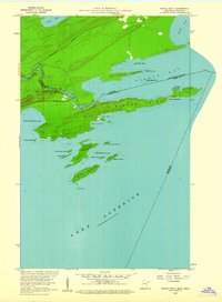
1959 · Pigeon Point
USGS Topo · 1:24,000
1959 · Fort William
USGS Topo · 1:250,000
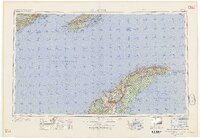
1960 · Hancock
USGS Topo · 1:250,000
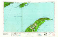
1961 · Hancock
USGS Topo · 1:250,000
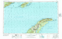
1966 · Hancock
USGS Topo · 1:250,000
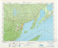
1968 · Fort William
USGS Topo · 1:250,000
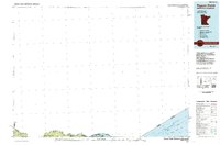
1985 · Pigeon Point
USGS Topo · 1:100,000
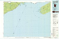
1985 · Grand Portage
USGS Topo · 1:100,000
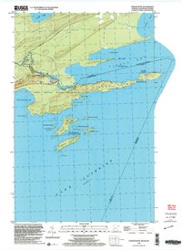
1999 · Pigeon Point
USGS Topo · 1:24,000