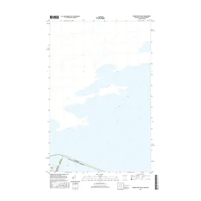
2016 Map of Pigeon Point OE NE
USGS Topo · Published 2016About this map
Lake Superior dominates this nautical and international frontier, where the territorial waters of the United States and Canada meet. The map focuses on the easternmost reach of the Arrowhead Region, centered on the narrow peninsula of Pigeon Point. This remote finger of land serves as a critical geographic marker for the maritime boundary between Minnesota and Michigan, specifically where Cook County and Keweenaw County intersect in the open water. The cartography illustrates the stark transition from the rocky northern shoreline into the expansive depths of the lake, providing a clear view of the international border that runs just south of the point. Given the sparse terrestrial development, the map is primarily a study of coastal topography and the political demarcations of the Great Lakes.
Find a feature on this map
6 named features on this map. Tap any name to fly to it.
Don’t see what you’re looking for? This feature index may not catch every label — zoom into the map to look around manually.
Map Details
Editions of this 2016 Pigeon Point OE NE Map
This is the sole edition of this map. No revisions or reprints were ever made.
Other maps of this area
1958 · Hancock
USGS Topo · 1:250,000
1959 · Pigeon Point
USGS Topo · 1:24,000
1959 · Fort William
USGS Topo · 1:250,000
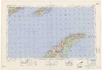
1960 · Hancock
USGS Topo · 1:250,000
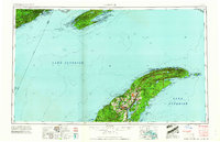
1961 · Hancock
USGS Topo · 1:250,000
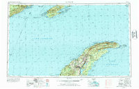
1966 · Hancock
USGS Topo · 1:250,000
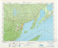
1968 · Fort William
USGS Topo · 1:250,000
1985 · Pigeon Point
USGS Topo · 1:100,000
1985 · Grand Portage
USGS Topo · 1:100,000
1999 · Pigeon Point
USGS Topo · 1:24,000