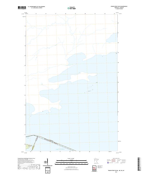
2022 Map of Pigeon Point OE NE
USGS Topo · Published 2022About this map
Lake Superior dominates this nautical frontier, where the far northeastern tip of Minnesota meets the international boundary with Canada. The narrow finger of Pigeon Point extends southeastward into the lake, creating the natural shelter of Pigeon Bay to its north. This coastal landscape is defined by its legal and territorial markers, including the intersection of Minnesota and Michigan state lines within the water, as well as the United States and Canada border. Inland, the terrain is identified by the public land survey designation T64n R7e in Cook County, showing a shoreline that remains largely undeveloped and defined by its physical geography.
Find a feature on this map
7 named features on this map. Tap any name to fly to it.
Don’t see what you’re looking for? This feature index may not catch every label — zoom into the map to look around manually.
Map Details
Editions of this 2022 Pigeon Point OE NE Map
This is the sole edition of this map. No revisions or reprints were ever made.
Other maps of this area

1958 · Hancock
USGS Topo · 1:250,000
1959 · Pigeon Point
USGS Topo · 1:24,000

1959 · Fort William
USGS Topo · 1:250,000

1960 · Hancock
USGS Topo · 1:250,000

1961 · Hancock
USGS Topo · 1:250,000

1966 · Hancock
USGS Topo · 1:250,000

1968 · Fort William
USGS Topo · 1:250,000

1985 · Pigeon Point
USGS Topo · 1:100,000

1985 · Grand Portage
USGS Topo · 1:100,000
1999 · Pigeon Point
USGS Topo · 1:24,000