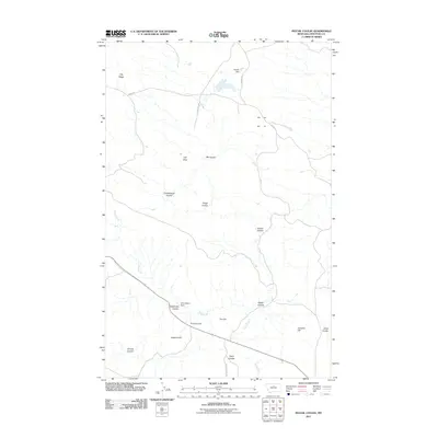
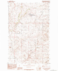
2011 Map of Pigtail Coulee
USGS Topo · Published 2011About this map
Pigtail Coulee and the surrounding drainage of Chip Creek define this landscape in north-central Montana, where water management is critical to the local ranching economy. This 2011 survey reveals a territory marked by family-named landmarks and topographic depressions, with Delilah Dam and Chip Dipper Dam providing essential reservoirs in an otherwise arid expanse. The map records a sparse network of roads like Chase Hill Dr and Halter Ranch Trl that link isolated upland features.
Find a feature on this map
22 named features on this map. Tap any name to fly to it.
Don’t see what you’re looking for? This feature index may not catch every label — zoom into the map to look around manually.
Map Details
Editions of this 2011 Pigtail Coulee Map
This is the sole edition of this map. No revisions or reprints were ever made.
Other maps of this area
1953 · Starve Out Flat
USGS Topo · 1:24,000
1954 · P N Ranch
USGS Topo · 1:24,000
1954 · Iliad
USGS Topo · 1:24,000
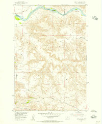
1954 · Council Island
USGS Topo · 1:24,000

1954 · Lewistown
USGS Topo · 1:250,000

1959 · Lewistown
USGS Topo · 1:250,000
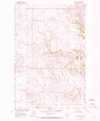
1964 · Pigtail Coulee
USGS Topo · 1:24,000
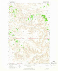
1964 · Chase Hill
USGS Topo · 1:24,000
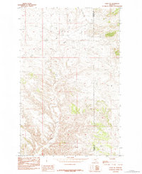
1984 · Eskay NE
USGS Topo · 1:24,000
1984 · Seifort Reservoir
USGS Topo · 1:24,000