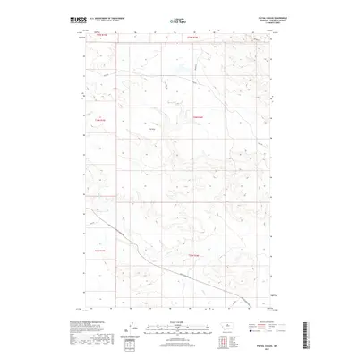
2020 Map of Pigtail Coulee
USGS Topo · Published 2020About this map
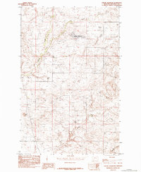
P W Flats dominates the central landscape of this Chouteau County region, representing the high, level terrain typical of the Missouri River breaks country. This modern 2020 survey illustrates a sparsely populated ranching and agricultural area defined by deep coulees and seasonal drainages such as Chip Cr. The transport network relies on a few primary arteries, notably Judith Landing Rd, which cuts diagonally across the southern half of the sheet, providing access to the historical river crossing to the southeast. Other local routes like Eskay Rd, Brewer Rd, and Chase Hill Dr provide a glimpse into the modern rural infrastructure, connecting isolated homesteads and grazing lands across the township and range boundaries of T24N and T25N.
Find a feature on this map
14 named features on this map. Tap any name to fly to it.
Don’t see what you’re looking for? This feature index may not catch every label — zoom into the map to look around manually.
Map Details
Editions of this 2020 Pigtail Coulee Map
This is the sole edition of this map. No revisions or reprints were ever made.
Other maps of this area
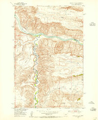
1953 · Starve Out Flat
USGS Topo · 1:24,000
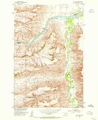
1954 · P N Ranch
USGS Topo · 1:24,000
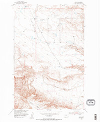
1954 · Iliad
USGS Topo · 1:24,000
1954 · Council Island
USGS Topo · 1:24,000

1954 · Lewistown
USGS Topo · 1:250,000

1959 · Lewistown
USGS Topo · 1:250,000
1964 · Pigtail Coulee
USGS Topo · 1:24,000
1964 · Chase Hill
USGS Topo · 1:24,000
1984 · Eskay NE
USGS Topo · 1:24,000
1984 · Seifort Reservoir
USGS Topo · 1:24,000