
1964 Map of Pigtail Coulee
USGS Topo · Published 1966About this map
The Missouri River Basin development program shaped the mapping of this expanse in Chouteau County during the mid-1960s. The landscape is defined by an intricate network of drainage channels, most notably Pigtail Coulee, Holden Coulee, and Chip Creek, which carve through the high plains. Human presence is sparse, centered around essential community anchors like the Eskay Sch in the north and the Kabo Sch further south.
Find a feature on this map
23 named features on this map. Tap any name to fly to it.
Don’t see what you’re looking for? This feature index may not catch every label — zoom into the map to look around manually.
Map Details
Editions of this 1964 Pigtail Coulee Map
This is the sole edition of this map. No revisions or reprints were ever made.
Other maps of this area

1953 · Starve Out Flat
USGS Topo · 1:24,000

1954 · P N Ranch
USGS Topo · 1:24,000

1954 · Iliad
USGS Topo · 1:24,000

1954 · Council Island
USGS Topo · 1:24,000

1954 · Lewistown
USGS Topo · 1:250,000

1959 · Lewistown
USGS Topo · 1:250,000

1964 · Chase Hill
USGS Topo · 1:24,000
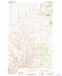
1984 · Eskay NE
USGS Topo · 1:24,000
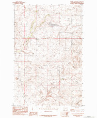
1984 · Seifort Reservoir
USGS Topo · 1:24,000
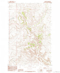
1984 · Eskay NW
USGS Topo · 1:24,000