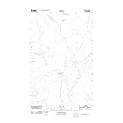
2011 Map of Pike Lake
USGS Topo · Published 2011About this map
The international boundary bisects this northern landscape, where the Port of Piegan serves as a critical point of entry between Montana and Alberta. The area is defined by its sophisticated water management systems, notably the Saint Mary Canal which winds through the terrain alongside the Saint Mary River. This infrastructure reflects the complex history of cross-border water rights and irrigation in the High Plains. To the west, the topography rises toward Crusher Hill and Sandy Ridge, overlooking a network of drainages including Roberts Creek and Kennedy Creek. Further north, Pike Lake and the Staples Dam mark the Canadian portion of the quadrangle, while Chief Mountain Junction provides a terrestrial navigational hub for those traveling through this borderland region.
Find a feature on this map
12 named features on this map. Tap any name to fly to it.
Don’t see what you’re looking for? This feature index may not catch every label — zoom into the map to look around manually.
Map Details
Editions of this 2011 Pike Lake Map
This is the sole edition of this map. No revisions or reprints were ever made.
Other maps of this area
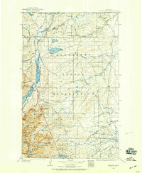
1901 · Browning
USGS Topo · 1:125,000
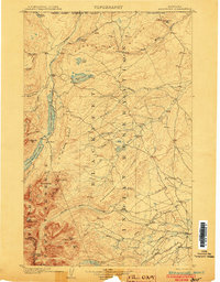
1903 · Browning
USGS Topo · 1:125,000
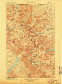
1904 · Chief Mountain
USGS Topo · 1:125,000
1938 · Chief Mountain
USGS Topo · 1:125,000
1960 · Cut Bank
USGS Topo · 1:250,000
1963 · Cut Bank
USGS Topo · 1:250,000
1964 · Cut Bank
USGS Topo · 1:250,000
1968 · Babb
USGS Topo · 1:24,000
1968 · Duck Lake
USGS Topo · 1:24,000
1968 · Chief Mountain
USGS Topo · 1:24,000