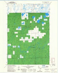
1971 Map of Pike Lake NW
USGS Topo · Published 1985About this map
The South Fork Flambeau River carves through this northern Wisconsin landscape, defined by the established borders of the Chequamegon National Forest. The 1970s era represented here shows a region deeply invested in forest management and recreation, anchored by the Park Falls Ranger District. Notable water features such as Kabol Lake, Patterson Lake, and Nettie B Lake dot the terrain, while specialized land use is evident at the Riley Lake Wildlife Management Area and the Newman Springs Ski Trails.
Find a feature on this map
41 named features on this map. Tap any name to fly to it.
Don’t see what you’re looking for? This feature index may not catch every label — zoom into the map to look around manually.
Map Details
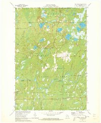
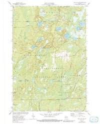
Editions of this 1971 Pike Lake NW Map
3 editions found
Other maps of this area

1940 · Mercer
USGS Topo · 1:48,000

1940 · Butternut
USGS Topo · 1:48,000

1941 · Park Falls
USGS Topo · 1:48,000

1941 · Pike Lake
USGS Topo · 1:48,000

1942 · Pike Lake
USGS Topo · 1:48,000

1943 · Park Falls
USGS Topo · 1:48,000

1945 · Mercer
USGS Topo · 1:48,000

1947 · Park Falls
USGS Topo · 1:48,000

1947 · Butternut
USGS Topo · 1:48,000

1947 · Mercer
USGS Topo · 1:48,000