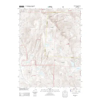
2013 Map of Pikes Peak
USGS Topo · Published 2013About this map
Pikes Peak anchors this high-altitude landscape where Teller and El Paso counties meet within the Pike National Forest. The map documents a complex water management system essential to the region, featuring high-mountain catchments like Manitou Reservoir, Big Horn Reservoir, and the Cripple Cr Reservoir Number 2. Engineering feats are evident in the underground connections of the Strickler Tunnel and Saint John Tunnel, which move water through the granite massif.
Find a feature on this map
62 named features on this map. Tap any name to fly to it.
Don’t see what you’re looking for? This feature index may not catch every label — zoom into the map to look around manually.
Map Details
Editions of this 2013 Pikes Peak Map
This is the sole edition of this map. No revisions or reprints were ever made.
Other maps of this area
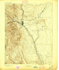
1893 · Colorado Springs
USGS Topo · 1:125,000
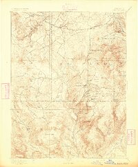
1894 · Pikes Peak
USGS Topo · 1:125,000
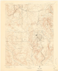
1901 · Pikes Peak
USGS Topo · 1:125,000
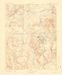
1901 · Pikes Peak
USGS Topo · 1:62,500
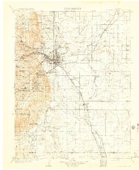
1909 · Colorado Springs
USGS Topo · 1:125,000
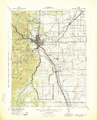
1942 · Colorado Springs
USGS Topo · 1:125,000
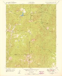
1948 · Mount Big Chief
USGS Topo · 1:24,000
1948 · Manitou Springs
USGS Topo · 1:24,000
1948 · Colorado Springs
USGS Topo · 1:62,500
1948 · Cascade
USGS Topo · 1:24,000