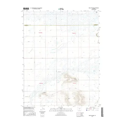
2016 Map of Pikes Stockade
USGS Topo · Published 2016About this map
Pikes Stockade sits near the confluence of the Conejos River and the Rio Grande in this southern Colorado landscape. The terrain is defined by the prominent San Luis Hills, featuring volcanic elevations like Sierro del Ojito and Saddleback Mtn. This 2016 survey illustrates an intricate irrigation network across the flats, including the Tenfoot Lateral, Twentyfoot Lateral, and Lasauses Lateral, alongside numerous named ditches such as Stewart Ditch and E Bend Ditch. These waterways support the agricultural valley at the border of Alamosa and Conejos counties. Natural water sources like McIntire Spring and Dexter Spring are interspersed among the wetlands and the winding course of La Jara Cr. The map also captures several distinct river diversions and the bluffs above the Rio Grande at Hansen Bluff.
Find a feature on this map
45 named features on this map. Tap any name to fly to it.
Don’t see what you’re looking for? This feature index may not catch every label — zoom into the map to look around manually.
Map Details
Editions of this 2016 Pikes Stockade Map
This is the sole edition of this map. No revisions or reprints were ever made.
Other maps of this area

1954 · Trinidad
USGS Topo · 1:250,000

1955 · Trinidad
USGS Topo · 1:250,000

1958 · Trinidad
USGS Topo · 1:250,000
1959 · Trinidad
USGS Topo · 1:250,000
1965 · Baldy
USGS Topo · 1:24,000
1965 · Lasauses
USGS Topo · 1:24,000
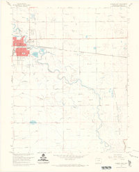
1966 · Alamosa East
USGS Topo · 1:24,000
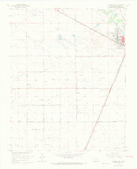
1966 · Alamosa West
USGS Topo · 1:24,000
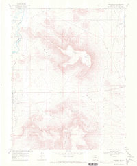
1967 · Manassa NE
USGS Topo · 1:24,000
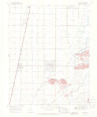
1967 · Manassa
USGS Topo · 1:24,000