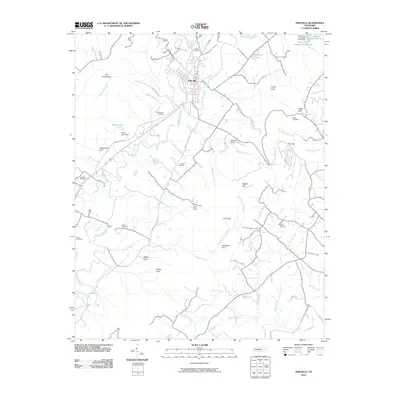
2010 Map of Pikeville
USGS Topo · Published 2010About this map
The Sequatchie River carves a path through the heart of the valley, anchoring the settlement of Pikeville and its surrounding agricultural lands. This 2010 depiction reveals a landscape defined by its gaps and coves, where the rugged walls of The Penitentiary and Penitentiary Gulf contrast with the established family-named landmarks on the valley floor. Genealogists will find a wealth of data through local burial grounds such as Henson Cemetery, McReynolds Cemetery, and Humble Cemetery, which are scattered along the rural road network including Pope Farm Rd and Old Dayton Rd. The topography is marked by several significant water features like Burns Lake and Twin Lakes Number Two Lake, alongside evidence of historical industry at the Fraley Gap Mine. At the southern end, the residential development of Crystal Falls Ests sits near the dramatic drop of Waterfall Falls, signaling the area's modern transition.
Find a feature on this map
56 named features on this map. Tap any name to fly to it.
Don’t see what you’re looking for? This feature index may not catch every label — zoom into the map to look around manually.
Map Details
Editions of this 2010 Pikeville Map
This is the sole edition of this map. No revisions or reprints were ever made.
Other maps of this area

1888 · Chattanooga
USGS Topo · 1:125,000

1892 · Pikeville
USGS Topo · 1:125,000

1893 · Chattanooga
USGS Topo · 1:125,000

1895 · Pikeville
USGS Topo · 1:125,000

1909 · Sequatchie Valley
USGS Topo · 1:62,500

1910 · Pikeville
USGS Topo · 1:62,500

1935 · Melvine
USGS Topo · 1:24,000

1935 · Morgan Springs
USGS Topo · 1:24,000

1935 · Brockdell
USGS Topo · 1:24,000

1935 · Billingsley Gap
USGS Topo · 1:24,000