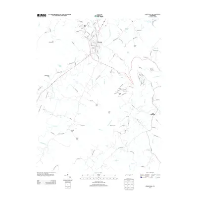
2013 Map of Pikeville
USGS Topo · Published 2013About this map
Pikeville serves as the central hub of this Tennessee valley landscape, where the Sequatchie River meanders through a corridor of agricultural and residential development. To the west, the terrain rises sharply into the Cumberland Plateau, marked by distinctive landforms like The Penitentiary and the steep recesses of Penitentiary Gulf. The map records a transition from the structured grid of West End to the outlying settlements of Gerren Heights and New Harmony, reflecting the localized growth patterns of the early 21st century.
Find a feature on this map
125 named features on this map. Tap any name to fly to it.
Don’t see what you’re looking for? This feature index may not catch every label — zoom into the map to look around manually.
Map Details
Editions of this 2013 Pikeville Map
This is the sole edition of this map. No revisions or reprints were ever made.
Other maps of this area

1888 · Chattanooga
USGS Topo · 1:125,000

1892 · Pikeville
USGS Topo · 1:125,000

1893 · Chattanooga
USGS Topo · 1:125,000

1895 · Pikeville
USGS Topo · 1:125,000

1909 · Sequatchie Valley
USGS Topo · 1:62,500

1910 · Pikeville
USGS Topo · 1:62,500

1935 · Melvine
USGS Topo · 1:24,000

1935 · Morgan Springs
USGS Topo · 1:24,000

1935 · Brockdell
USGS Topo · 1:24,000

1935 · Billingsley Gap
USGS Topo · 1:24,000