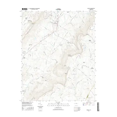
2016 Map of Pikeville
USGS Topo · Published 2016About this map
Pikeville sits at the heart of the Sequatchie Valley, where the river's floodplain is flanked by the dramatic rising walls of the Cumberland Plateau and Walden Ridge. The 2016 landscape reflects a mix of organized settlement and the deep clefts of the Cumberland Escarpment, most notably around the geologic bowl of The Penitentiary and the Penitentiary Gulf. Genealogists will find a high density of small family and community burial grounds, including Henson Cem and McReynolds Cem, which dot the valley floor near established roads like the Alvin C York Hwy.
Find a feature on this map
107 named features on this map. Tap any name to fly to it.
Don’t see what you’re looking for? This feature index may not catch every label — zoom into the map to look around manually.
Map Details
Editions of this 2016 Pikeville Map
This is the sole edition of this map. No revisions or reprints were ever made.
Other maps of this area

1888 · Chattanooga
USGS Topo · 1:125,000

1892 · Pikeville
USGS Topo · 1:125,000

1893 · Chattanooga
USGS Topo · 1:125,000

1895 · Pikeville
USGS Topo · 1:125,000

1909 · Sequatchie Valley
USGS Topo · 1:62,500

1910 · Pikeville
USGS Topo · 1:62,500

1935 · Melvine
USGS Topo · 1:24,000

1935 · Morgan Springs
USGS Topo · 1:24,000

1935 · Brockdell
USGS Topo · 1:24,000

1935 · Billingsley Gap
USGS Topo · 1:24,000