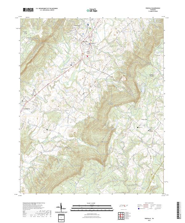
2022 Map of Pikeville
USGS Topo · Published 2022About this map
Pikeville serves as the focal point of the Sequatchie Valley, where the river corridor sits flanked by the dramatic rise of the Cumberland Escarpment. The town layout centers on the Bledsoe County Courthouse, reflecting the area's long-standing role as a seat of local governance. To the west, the terrain transitions into the Cumberland Plateau, characterized by complex landforms such as The Penitentiary and Penitentiary Gulf. This topography creates a series of isolated coves like Keedy Cove, Walker Cove, and Loyd Cove, each suggesting early pockets of mountain settlement.
Find a feature on this map
121 named features on this map. Tap any name to fly to it.
Don’t see what you’re looking for? This feature index may not catch every label — zoom into the map to look around manually.
Map Details
Editions of this 2022 Pikeville Map
This is the sole edition of this map. No revisions or reprints were ever made.
Other maps of this area

1888 · Chattanooga
USGS Topo · 1:125,000

1892 · Pikeville
USGS Topo · 1:125,000

1893 · Chattanooga
USGS Topo · 1:125,000

1895 · Pikeville
USGS Topo · 1:125,000

1909 · Sequatchie Valley
USGS Topo · 1:62,500

1910 · Pikeville
USGS Topo · 1:62,500

1935 · Melvine
USGS Topo · 1:24,000

1935 · Morgan Springs
USGS Topo · 1:24,000

1935 · Brockdell
USGS Topo · 1:24,000

1935 · Billingsley Gap
USGS Topo · 1:24,000