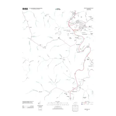
2013 Map of Pikeville
USGS Topo · Published 2013About this map
Pikeville serves as the central hub of this eastern Kentucky mountain landscape, where the winding Levisa Fork dictates the path of commerce and settlement. The map highlights the town's complex topography and infrastructure, featuring several crossings like the Middle Bridge and Lower Bridge, along with named neighborhoods such as Cline Hollow and Peach Orchard Bottom. Beyond the city limits, the terrain rises sharply toward Duty Knob and Peach Orchard Mountain, with deep hollows like Keyser Hollow and Rich Hollow tucking into the steep slopes.
Find a feature on this map
183 named features on this map. Tap any name to fly to it.
Don’t see what you’re looking for? This feature index may not catch every label — zoom into the map to look around manually.
Map Details
Editions of this 2013 Pikeville Map
This is the sole edition of this map. No revisions or reprints were ever made.
Other maps of this area

1886 · Prestonsburg
USGS Topo · 1:125,000

1886 · Grundy
USGS Topo · 1:125,000

1887 · Warfield
USGS Topo · 1:125,000

1890 · Whitesburg
USGS Topo · 1:125,000

1890 · Grundy
USGS Topo · 1:125,000

1891 · Warfield
USGS Topo · 1:125,000

1892 · Grundy
USGS Topo · 1:125,000

1892 · Whitesburg
USGS Topo · 1:125,000

1892 · Prestonsburg
USGS Topo · 1:125,000

1914 · Laynesville
USGS Topo · 1:48,000