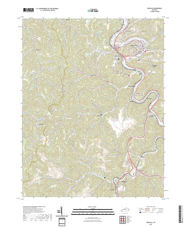
2022 Map of Pikeville
USGS Topo · Published 2022About this map
Pikeville serves as the focal point of this Eastern Kentucky landscape, where the University of Pikeville and the Pike County Judicial Center anchor the regional economy along the Levisa Fork. The settlement pattern reflects the complex topography of the Cumberland Plateau, with communities like Peach Orchard Bottom, Kewanee, and Mayo Village following the winding river valley. To the west, the map reveals a more dispersed rural character through the hollows and gaps of the Floyd Co and Pike Co border, including the remote Toler Gap and the accurately named Deadening Fork.
Find a feature on this map
157 named features on this map. Tap any name to fly to it.
Don’t see what you’re looking for? This feature index may not catch every label — zoom into the map to look around manually.
Map Details
Editions of this 2022 Pikeville Map
This is the sole edition of this map. No revisions or reprints were ever made.
Other maps of this area

1886 · Prestonsburg
USGS Topo · 1:125,000

1886 · Grundy
USGS Topo · 1:125,000

1887 · Warfield
USGS Topo · 1:125,000

1890 · Whitesburg
USGS Topo · 1:125,000

1890 · Grundy
USGS Topo · 1:125,000

1891 · Warfield
USGS Topo · 1:125,000

1892 · Grundy
USGS Topo · 1:125,000

1892 · Whitesburg
USGS Topo · 1:125,000

1892 · Prestonsburg
USGS Topo · 1:125,000

1914 · Laynesville
USGS Topo · 1:48,000