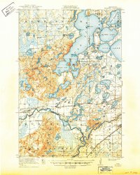
1919 Map of Pillager
USGS Topo · Published 1949About this map
The Crow Wing River and Mississippi River converge in this 1916 survey, a landscape defined by an intricate network of waterways and early 20th-century settlements. At the heart of the region, the Northern Pacific railroad facilitates the growth of towns like Pillager, Sylvan, and Baxter. To the north, the massive expanse of Gull Lake is already established as a destination, marked by the presence of Grand View Lodge.
Find a feature on this map
72 named features on this map. Tap any name to fly to it.
Don’t see what you’re looking for? This feature index may not catch every label — zoom into the map to look around manually.
Map Details
Editions of this 1919 Pillager Map
3 editions found
Other maps of this area

1915 · Brainerd
USGS Topo · 1:62,500

1916 · Pillager
USGS Topo · 1:62,500

1918 · Brainerd
USGS Topo · 1:62,500

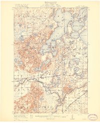
1919 · Pillager
USGS Topo · 1:62,500

1919 · Leader
USGS Topo · 1:62,500

1948 · Belle Prairie
USGS Topo · 1:62,500

1948 · Lastrup
USGS Topo · 1:62,500

1948 · Cushing
USGS Topo · 1:62,500

1950 · Lastrup
USGS Topo · 1:62,500

1950 · Belle Prairie
USGS Topo · 1:62,500