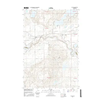
2016 Map of Pillager
USGS Topo · Published 2016About this map
The Crow Wing River winds through the heart of this central Minnesota landscape, defining the boundary where the settlements of Pillager and Sylvan meet. The terrain is a complex network of glacial water bodies, including the large Sylvan Lake, Pillager Lake, and the expansive Little Red Sand Lake. This 2016 survey captures a region where family history is deeply rooted in the land, evidenced by several small burial grounds like the Franzen Family Cem and the highly specific Mrs Albert Schultz Grave located south of Sylvan Shady Shores RD. The road network, including Lake Placid Blvd and Gregory Dr SW, connects these lakeside communities and rural homesteads, while the southern reach of the map transitions into the wetlands near Mud Lake and Tamarack Lake.
Find a feature on this map
92 named features on this map. Tap any name to fly to it.
Don’t see what you’re looking for? This feature index may not catch every label — zoom into the map to look around manually.
Map Details
Editions of this 2016 Pillager Map
This is the sole edition of this map. No revisions or reprints were ever made.
Other maps of this area

1916 · Pillager
USGS Topo · 1:62,500

1919 · Pillager
USGS Topo · 1:62,500

1948 · Belle Prairie
USGS Topo · 1:62,500

1948 · Cushing
USGS Topo · 1:62,500

1950 · Belle Prairie
USGS Topo · 1:62,500

1950 · Cushing
USGS Topo · 1:62,500

1953 · Brainerd
USGS Topo · 1:250,000

1954 · Baxter
USGS Topo · 1:24,000

1954 · Pillager
USGS Topo · 1:24,000
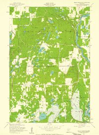
1956 · Belle Prairie NW
USGS Topo · 1:24,000