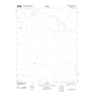
2011 Map of Pillars of Hercules
USGS Topo · Published 2011About this map
The Pillars of Hercules form the central geographical focus of this high-desert survey in Coconino County. The landscape is characterized by its dramatic verticality and limited accessibility, where transit is restricted to a handful of unpaved desert corridors. Principal access to the northern reaches is provided by Indian Rte 6, which navigates the high ground near Horse Corral Point. Further east, Indian Rte 6250 winds through the terrain, illustrating the sparse network of roadways that serve this portion of the Arizona wilderness. This map provides a technical view of a region defined more by its natural topography and drainage patterns than by human settlement, offering a clear record of the area's physical state in the early 21st century.
Find a feature on this map
4 named features on this map. Tap any name to fly to it.
Don’t see what you’re looking for? This feature index may not catch every label — zoom into the map to look around manually.
Map Details
Editions of this 2011 Pillars of Hercules Map
This is the sole edition of this map. No revisions or reprints were ever made.
Other maps of this area

1883 · Marsh Pass
USGS Topo · 1:250,000

1892 · Marsh Pass
USGS Topo · 1:250,000

1956 · Marble Canyon
USGS Topo · 1:250,000

1959 · Marble Canyon
USGS Topo · 1:250,000

1961 · Marble Canyon
USGS Topo · 1:250,000
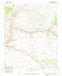
1967 · Rocky Ridge NW
USGS Topo · 1:24,000
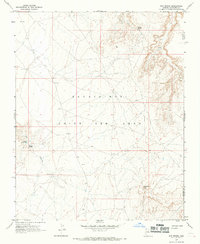
1967 · Bat Spring
USGS Topo · 1:24,000
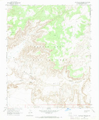
1967 · Pillars of Hercules
USGS Topo · 1:24,000
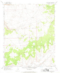
1967 · Rocky Ridge SW
USGS Topo · 1:24,000
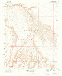
1967 · Bat Canyon
USGS Topo · 1:24,000