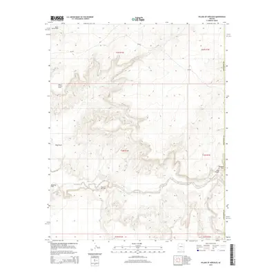
2014 Map of Pillars of Hercules
USGS Topo · Published 2014About this map
Pillars of Hercules stands as a landmark formation in this arid stretch of Coconino County, where the landscape is defined by the carved paths of seasonal watercourses. The broad, winding channel of Moenkopi Wash dominates the southern half of the quadrangle, while Blue Canyon cuts through the central terrain, indicating a complex drainage system that shapes the local topography. Higher elevations are marked by features such as Horse Corral Point in the northwest, providing a vertical contrast to the low-lying washes like Bitter Spring Wash. The sparse infrastructure consists primarily of bureau roads including Bia-6 and Bia-6250, which trace the high ground and plateaus between the canyons. This map captures a remote area of the Navajo Nation where the natural geological architecture remains the primary point of orientation.
Find a feature on this map
14 named features on this map. Tap any name to fly to it.
Don’t see what you’re looking for? This feature index may not catch every label — zoom into the map to look around manually.
Map Details
Editions of this 2014 Pillars of Hercules Map
This is the sole edition of this map. No revisions or reprints were ever made.
Other maps of this area

1883 · Marsh Pass
USGS Topo · 1:250,000

1892 · Marsh Pass
USGS Topo · 1:250,000

1956 · Marble Canyon
USGS Topo · 1:250,000

1959 · Marble Canyon
USGS Topo · 1:250,000

1961 · Marble Canyon
USGS Topo · 1:250,000
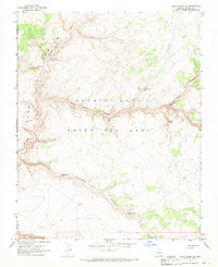
1967 · Rocky Ridge NW
USGS Topo · 1:24,000
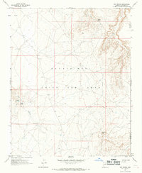
1967 · Bat Spring
USGS Topo · 1:24,000
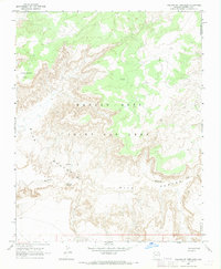
1967 · Pillars of Hercules
USGS Topo · 1:24,000
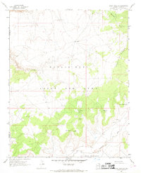
1967 · Rocky Ridge SW
USGS Topo · 1:24,000
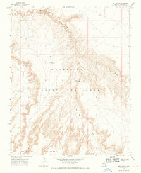
1967 · Bat Canyon
USGS Topo · 1:24,000