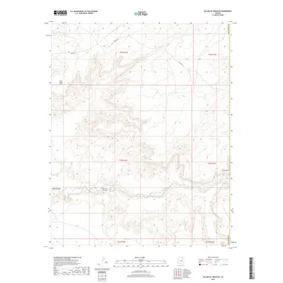
2018 Map of Pillars of Hercules
USGS Topo · Published 2018About this map
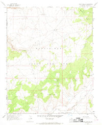
Moenkopi Wash winds across this section of the Navajo Nation, cutting through the high desert floor between dramatic geological formations. The named Pillars of Hercules stand as a central landmark within the canyon system, illustrating the erosional forces that have shaped the Coconino County landscape. This 2018 survey reveals a sparse network of transportation routes, including Indian Rte 33 and Indian Rte 6, which navigate the plateaus and bypass the steep drops of Blue Canyon. High points like Horse Corral Point overlook the intricate drainage patterns that feed into the wash, highlighting the remote and vertical nature of the terrain. The map provides a detailed view of the township and range divisions, showing how traditional land use and infrastructure are situated within the deeply carved canyons and high mesas.
Find a feature on this map
13 named features on this map. Tap any name to fly to it.
Don’t see what you’re looking for? This feature index may not catch every label — zoom into the map to look around manually.
Map Details
Editions of this 2018 Pillars of Hercules Map
This is the sole edition of this map. No revisions or reprints were ever made.
Other maps of this area

1883 · Marsh Pass
USGS Topo · 1:250,000

1892 · Marsh Pass
USGS Topo · 1:250,000

1956 · Marble Canyon
USGS Topo · 1:250,000

1959 · Marble Canyon
USGS Topo · 1:250,000

1961 · Marble Canyon
USGS Topo · 1:250,000
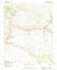
1967 · Rocky Ridge NW
USGS Topo · 1:24,000
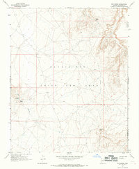
1967 · Bat Spring
USGS Topo · 1:24,000
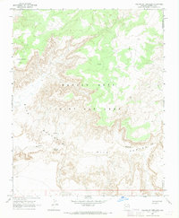
1967 · Pillars of Hercules
USGS Topo · 1:24,000
1967 · Rocky Ridge SW
USGS Topo · 1:24,000
1967 · Bat Canyon
USGS Topo · 1:24,000