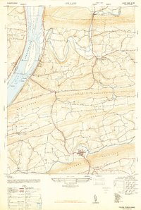
1947 Map of Pillow
USGS Topo · Published 1947About this map
Mahantango Creek and the riverfront town of Herndon anchor this mid-century survey of the Northumberland and Dauphin county borderlands. The landscape is defined by the parallel ridges of Hooflander Mountain and Mahantango Mountain, which channel the movement of agriculture and commerce toward the Susquehanna River. Along the western edge, the Reading railroad follows the shoreline past Hoover Island and Whites Island, serving small settlements like Dundore and Dalmatia.
Find a feature on this map
49 named features on this map. Tap any name to fly to it.
Don’t see what you’re looking for? This feature index may not catch every label — zoom into the map to look around manually.
Map Details
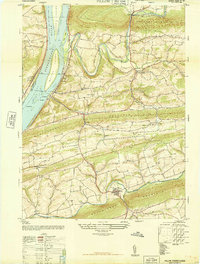
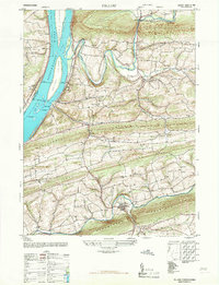
Editions of this 1947 Pillow Map
3 editions found
Other maps of this area

1892 · Lykens
USGS Topo · 1:62,500

1892 · Shamokin
USGS Topo · 1:62,500

1893 · Sunbury
USGS Topo · 1:62,500

1893 · Lykens
USGS Topo · 1:62,500

1893 · Shamokin
USGS Topo · 1:62,500

1893 · Millersburg
USGS Topo · 1:62,500

1943 · Millersburg
USGS Topo · 1:62,500

1943 · Lykens
USGS Topo · 1:62,500

1943 · Shamokin
USGS Topo · 1:62,500

1943 · Sunbury
USGS Topo · 1:62,500