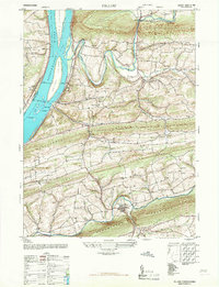
1947 Map of Pillow
USGS Topo · Published 1968About this map
Pillow and Herndon anchor this 1947 topographical study, which traces the rugged terrain where Northumberland County meets Dauphin County. The wide Susquehanna River dominates the western edge, carving a path past Hoover Island, Whites Island, and Bowers Island. This landscape is defined by its dramatic ridges, including Mahantango Mountain and Fisher Ridge, which dictate the winding paths of Mahanoy Creek and Mahantango Creek.
Find a feature on this map
50 named features on this map. Tap any name to fly to it.
Don’t see what you’re looking for? This feature index may not catch every label — zoom into the map to look around manually.
Map Details
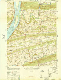
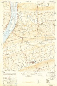
Editions of this 1947 Pillow Map
3 editions found
Other maps of this area

1892 · Lykens
USGS Topo · 1:62,500

1892 · Shamokin
USGS Topo · 1:62,500

1893 · Sunbury
USGS Topo · 1:62,500

1893 · Lykens
USGS Topo · 1:62,500

1893 · Shamokin
USGS Topo · 1:62,500

1893 · Millersburg
USGS Topo · 1:62,500

1943 · Millersburg
USGS Topo · 1:62,500

1943 · Lykens
USGS Topo · 1:62,500

1943 · Shamokin
USGS Topo · 1:62,500

1943 · Sunbury
USGS Topo · 1:62,500