
1967 Map of Pillsbury SE
USGS Topo · Published 1969About this map
The prairie landscape of the Barnes County high plains is captured here during the late 1960s, defined by the glacial depressions and wetlands of Grand Prairie and Weimer. The sheet reveals a rural network of section lines and small-scale community infrastructure, including a local Townhall and the Morton Cem in the northern reach. Central to the area's geography is Minnie Lake, which serves as a focal point for the surrounding farms and the nearby Minnie Lake Ch.
Find a feature on this map
12 named features on this map. Tap any name to fly to it.
Don’t see what you’re looking for? This feature index may not catch every label — zoom into the map to look around manually.
Map Details
Editions of this 1967 Pillsbury SE Map
This is the sole edition of this map. No revisions or reprints were ever made.
Other maps of this area

1897 · Tower
USGS Topo · 1:125,000

1952 · Grand Forks
USGS Topo · 1:250,000

1953 · Fargo
USGS Topo · 1:250,000

1956 · Fargo
USGS Topo · 1:250,000

1956 · Grand Forks
USGS Topo · 1:250,000

1961 · Valley City East
USGS Topo · 1:24,000

1966 · Grand Forks
USGS Topo · 1:250,000

1967 · Tower City
USGS Topo · 1:24,000
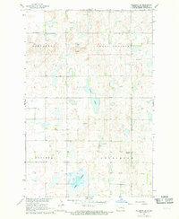
1967 · Pillsbury SW
USGS Topo · 1:24,000
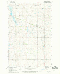
1967 · Pillsbury
USGS Topo · 1:24,000
Featured Places
- Weimer Township, ND
- Minnie Lake Township, ND
- Grand Prairie Township, ND
- Noltimier Township, ND
- Barnes County, ND