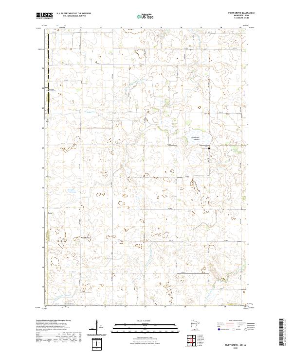
2022 Map of Pilot Grove
USGS Topo · Published 2022About this map
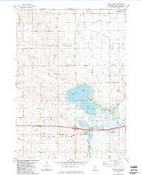
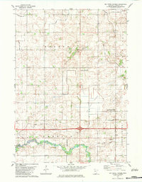
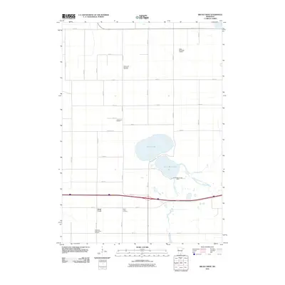
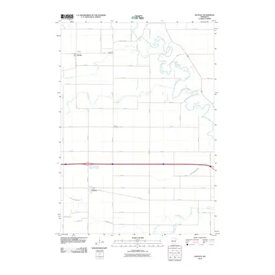
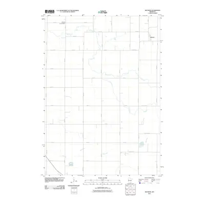
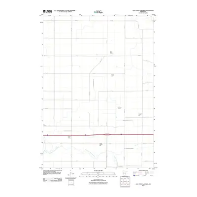
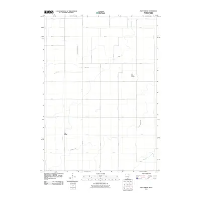
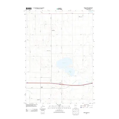
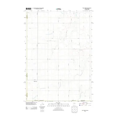
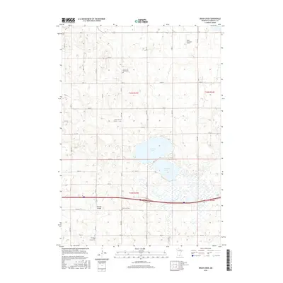
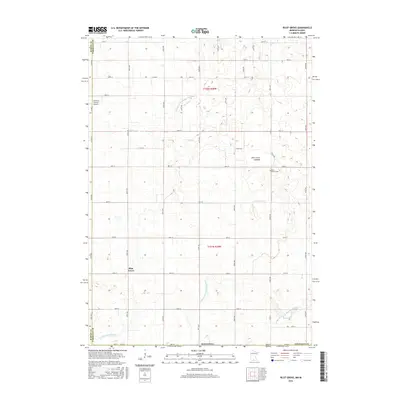
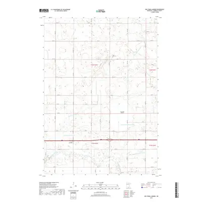
Pilot Grove sits at the heart of this agricultural landscape in Faribault County, where the transition from natural wetlands to engineered drainage is clearly visible. The presence of the Pilot Grove Lakebed and numerous managed waterways, such as Judicial Ditch Number Nineteen and Judicial Ditch Number Seven, reflects the historical transformation of this prairie region into productive farmland. These ditches intersect with natural features like Badger Creek and the West Branch Blue Earth River, illustrating how local water management has defined the modern terrain.
Find a feature on this map
34 named features on this map. Tap any name to fly to it.
Don’t see what you’re looking for? This feature index may not catch every label — zoom into the map to look around manually.
Map Details
Editions of this 2022 Pilot Grove Map
This is the sole edition of this map. No revisions or reprints were ever made.
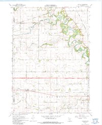
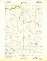
Historical Maps of Pilot Grove Through Time
30 maps found
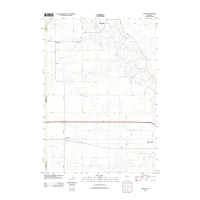
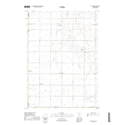
1967 Huntley
Faribault County, MN
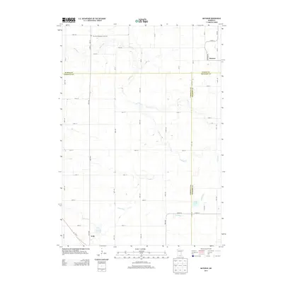
1967 Matawan
Faribault County, MN
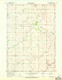
1967 Pilot Grove
Faribault County, MN
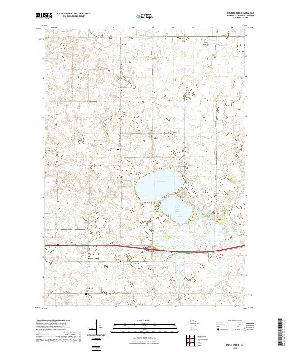
1982 Brush Creek
Faribault County, MN
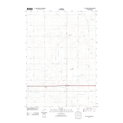
1982 Oza Tanka Lakebed
Faribault County, MN
2010 Brush Creek
Faribault County, MN
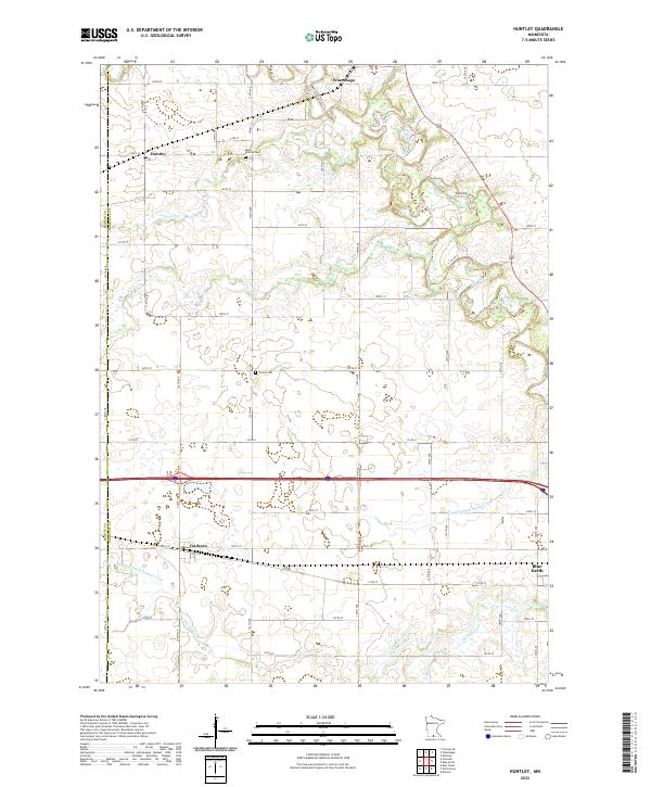
2010 Huntley
Faribault County, MN
2010 Matawan
Faribault County, MN
2010 Oza Tanka Lakebed
Faribault County, MN
2010 Pilot Grove
Faribault County, MN
2013 Brush Creek
Faribault County, MN
2013 Huntley
Faribault County, MN
2013 Matawan
Faribault County, MN
2013 Oza Tanka Lakebed
Faribault County, MN
2013 Pilot Grove
Faribault County, MN
2016 Brush Creek
Faribault County, MN
2016 Huntley
Faribault County, MN
2016 Matawan
Faribault County, MN
2016 Oza Tanka Lakebed
Faribault County, MN
2016 Pilot Grove
Faribault County, MN
2019 Brush Creek
Faribault County, MN
2019 Huntley
Faribault County, MN
2019 Matawan
Faribault County, MN
2019 Oza Tanka Lakebed
Faribault County, MN
2019 Pilot Grove
Faribault County, MN
2022 Brush Creek
Faribault County, MN
2022 Huntley
Faribault County, MN
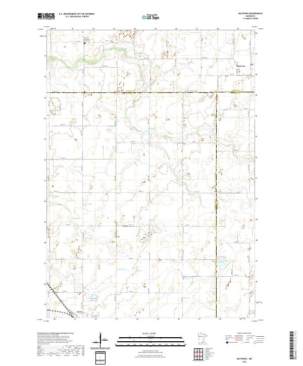
2022 Matawan
Faribault County, MN
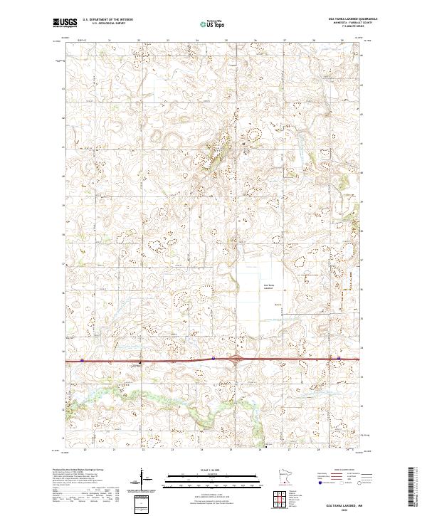
2022 Oza Tanka Lakebed
Faribault County, MN
2022 Pilot Grove
Faribault County, MN