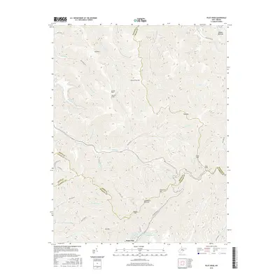
2016 Map of Pilot Knob
USGS Topo · Published 2016About this map
Guyandotte Mountain and Huff Mtn define the complex topography of this Appalachian coal country, where five county lines—Raleigh, Boone, Logan, and Wyoming—converge amidst a dense network of ridges and hollows. The settlement of Kopperston sits at the base of Kopperston Mtn, serving as a focal point for local industry near the Kimbrell Water Works Spring.
Find a feature on this map
54 named features on this map. Tap any name to fly to it.
Don’t see what you’re looking for? This feature index may not catch every label — zoom into the map to look around manually.
Map Details
Editions of this 2016 Pilot Knob Map
This is the sole edition of this map. No revisions or reprints were ever made.
Other maps of this area

1891 · Oceana
USGS Topo · 1:125,000

1891 · Raleigh
USGS Topo · 1:125,000

1893 · Oceana
USGS Topo · 1:125,000

1897 · Raleigh
USGS Topo · 1:125,000

1898 · Oceana
USGS Topo · 1:125,000

1902 · Raleigh
USGS Topo · 1:125,000

1910 · Pineville
USGS Topo · 1:48,000

1910 · Bald Knob
USGS Topo · 1:48,000

1911 · Marshes
USGS Topo · 1:48,000

1912 · Mullens
USGS Topo · 1:62,500