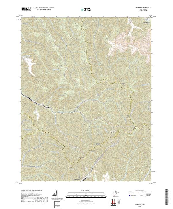
2023 Map of Pilot Knob
USGS Topo · Published 2023About this map
Kopperston lies at the southern edge of this West Virginia landscape, where the intersections of Boone, Wyoming, Raleigh, and Logan counties meet among the high ridgelines of the Appalachian plateau. The settlement patterns follow the narrow valley floors, particularly along Pond Fork and Huff Creek, while industry and infrastructure are represented by landmarks such as the Kimbell Water Works Spring.
Find a feature on this map
51 named features on this map. Tap any name to fly to it.
Don’t see what you’re looking for? This feature index may not catch every label — zoom into the map to look around manually.
Map Details
Editions of this 2023 Pilot Knob Map
This is the sole edition of this map. No revisions or reprints were ever made.
Other maps of this area

1891 · Oceana
USGS Topo · 1:125,000

1891 · Raleigh
USGS Topo · 1:125,000

1893 · Oceana
USGS Topo · 1:125,000

1897 · Raleigh
USGS Topo · 1:125,000

1898 · Oceana
USGS Topo · 1:125,000

1902 · Raleigh
USGS Topo · 1:125,000

1910 · Pineville
USGS Topo · 1:48,000

1910 · Bald Knob
USGS Topo · 1:48,000

1911 · Marshes
USGS Topo · 1:48,000

1912 · Mullens
USGS Topo · 1:62,500