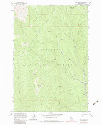
1962 Map of Pilot Knob
USGS Topo · Published 1983About this map
Nez Perce National Forest dominates this topographic survey, revealing a landscape shaped by historical mining and high-altitude travel. The presence of the Pell Placer Mine and Revelation Mine, alongside extensive Dredge Tailings near Newsome Creek, highlights the area's extraction history. Transportation across these steep ridges relied on routes like the Elk City Stage Road and the Pilot Knob Trail, which connected remote outposts. Evidence of earlier habitation is found at Mountain House and the Newsome settlement, which includes a small cemetery and the Newsome Work Center. Local nomenclature reflects both human activity and topography, from Pell Cabin and Lytle Camp to prominent heights like Baldy Mtn and Pilot Knob, where a Lookout stands sentinel over the West Fork Newsome Creek drainage.
Find a feature on this map
42 named features on this map. Tap any name to fly to it.
Don’t see what you’re looking for? This feature index may not catch every label — zoom into the map to look around manually.
Map Details
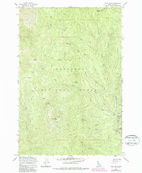
Editions of this 1962 Pilot Knob Map
3 editions found

Other maps of this area

1924 · Weippe
USGS Topo · 1:125,000

1931 · Buffalo Hump
USGS Topo · 1:125,000

1934 · Buffalo Hump
USGS Topo · 1:125,000

1956 · Elk City
USGS Topo · 1:250,000

1956 · Hamilton
USGS Topo · 1:250,000

1959 · Hamilton
USGS Topo · 1:250,000

1960 · Elk City
USGS Topo · 1:250,000

1960 · Hamilton
USGS Topo · 1:250,000

1962 · Golden
USGS Topo · 1:24,000

1962 · Center Star Mtn
USGS Topo · 1:24,000