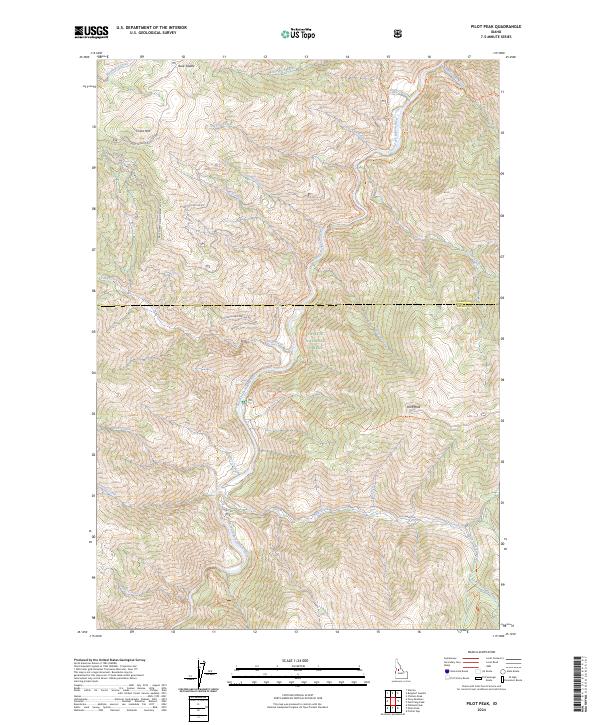
2024 Map of Pilot Peak
USGS Topo · Published 2024About this map
The South Fork Salmon River carves a deep path through this portion of the Payette National Forest, a landscape defined by the drainage systems of Elk Creek and China Creek. At the intersection of the Idaho and Valley County lines, the terrain rises toward high points like China Mtn and the prominent Pilot Peak. The presence of several US Forest Service infrastructure routes, including S Fork Guard Station Rd and Elk Summit Rd, indicates the long-standing management of these timberlands and watershed areas.
Find a feature on this map
52 named features on this map. Tap any name to fly to it.
Don’t see what you’re looking for? This feature index may not catch every label — zoom into the map to look around manually.
Map Details
Editions of this 2024 Pilot Peak Map
This is the sole edition of this map. No revisions or reprints were ever made.
Other maps of this area

1937 · Big Creek
USGS Topo · 1:48,000

1942 · Big Creek
USGS Topo · 1:62,500

1956 · Warren
USGS Topo · 1:62,500

1956 · Elk City
USGS Topo · 1:250,000

1960 · Elk City
USGS Topo · 1:250,000

1969 · Profile Gap
USGS Topo · 1:24,000

1969 · Pony Meadows
USGS Topo · 1:24,000

1969 · Parks Peak
USGS Topo · 1:24,000

1969 · Wolf Fang Peak
USGS Topo · 1:24,000

1969 · Williams Peak
USGS Topo · 1:24,000